03
Feb
Summary Planimetric Project File
- Version
- 7 Download
- 1.69 MB File Size
- 1 File Count
- February 3, 2022 Create Date
- February 3, 2022 Last Updated
-
Download
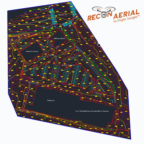 The following file is a project summary PDF document. The project is comprised of a standard set of photogrammetric exports, planimetric exports (3 .dwg files), which include roads, curbs, paint striping (parking, crosswalks, road lines), building footprints, building elevations at height, spot elevations, pathways, manholes, storm drains, transformers, light standards, sidewalks, building labels, GCPs, trees, 1' contour intervals, breaklines and more.
| File |
|---|
| Kanata Commons Planimetric Feature Extraction of Aerial Data to CAD Linework.pdf |