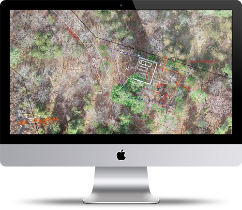
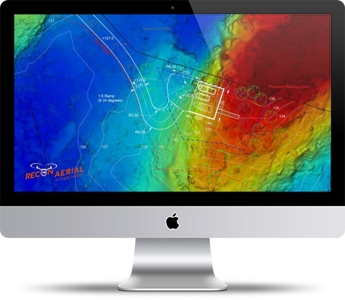
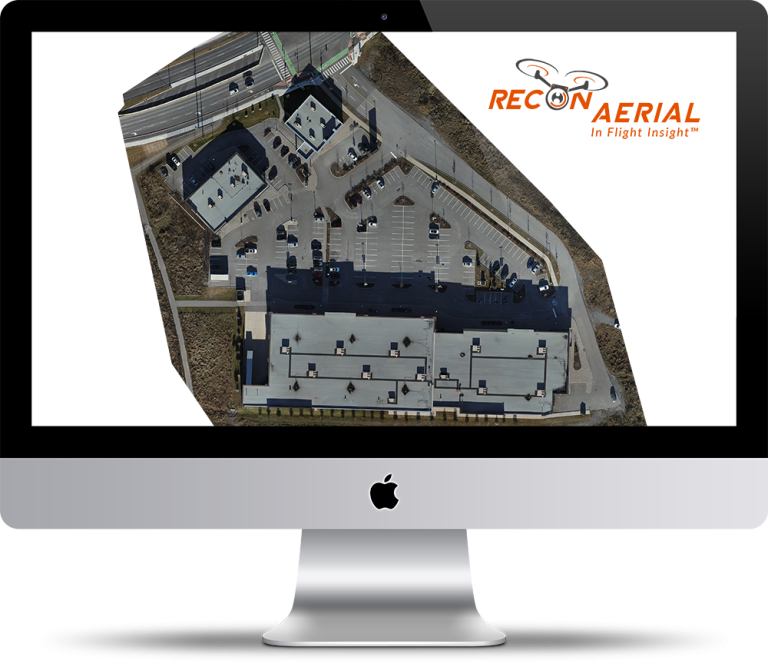
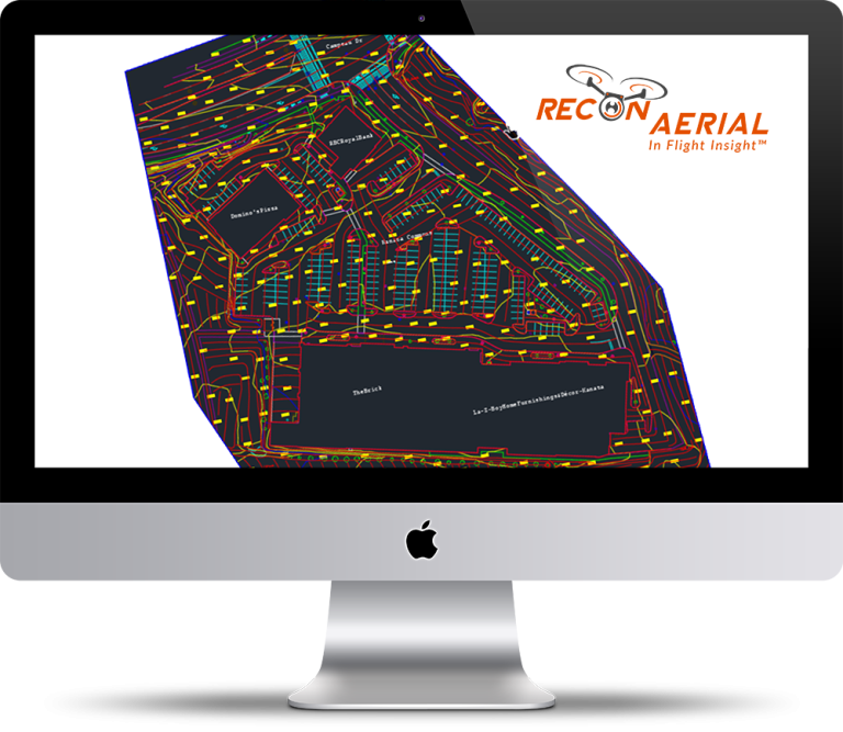
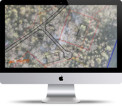
Recon Aerial conducted a drone mapping and surveying mission to assist an architectural firm in placing a home on a 10 acre, waterfront lot. Recon flew 3 flight missions at 170, 220, and 250 feet over 2.0 hrs taking approximately 800 images at various GSDs.
Traditionally, the architect/planner may need to visit the building site several times to ensure the proper placement of the dwelling in relation to setbacks, the elevation profile, property lines, sight-lines, access to the waterfront, and various other sites features, not so in this case.
Recon Aerial flew the property and provided our standard photogrammetric data package. The linework from drone data was used to create plan views and even section profiles to assist site development and planning.
The drone data was pivotal. It allowed the architect to fully understand the site details, place the home correctly in relation to the natural site features and meet their clients’ constraints in relation to the build and to the covenants held with the condominium purchase agreement. In fact, additional planning in relation to a road was required given the substantial elevation changes discovered via the aerial drone survey.


