Drone Inspection Company
WIND TURBINE INSPECTIONS
Recon Aerial offers enterprise Wind Turbine Inspections Drone services Canada and abroad for Turbine Manufacturers, Wind Farm Owners/Operators, and O&M Specialists. Looking to reduce risk, resolve under-performance issues, potentially prevent expensive blade failures and significant downtime events? Get in touch!
More InfoDAM/BRIDGE INSPECTIONS
Recon Aerial is an industry leader for drone-based bridge and dam inspections. We deploy the latest drone technology to offer class-leading solutions to our clients.Our expert drone service solution includes aerial surveying, grid-based inspections, defect recognition/annotation, and reporting, Get in touch!
More InfoROOF DRONE INSPECTIONS
Recon Aerial has completed several drone-based roof inspections. Drone use for roof inspections is a much safer, more efficient, and more cost-effective. We recently inspected 90 condo units in under 4 hours on at considerable cost savings to our client. We also recently completed a 95 building thermal inspection in the Peel Region.
More InfoMAPPING & SURVEYING
We use autonomous drone software to undertake autonomous flights. TOur mission is to quickly collect geo-referenceed photo data from specific altitudes to meet several key project mapping objectives. Aerial mapping by drone can be conducted at a fraction fo the cost of manned aviation, and at a higher resolution.
More InfoDRONE DATA PROCESSING
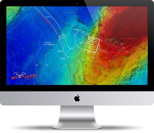
Recon Aerial offers drone data processing. We process image and survey information to produce photogrammetric exports such as 3D mesh, 3D point cloud, orthomosaics for our engineering, surveying, and drone services providers. Our drone data processing services streamlines our clients workflows.
More InfoAutoCAD LINE WORK
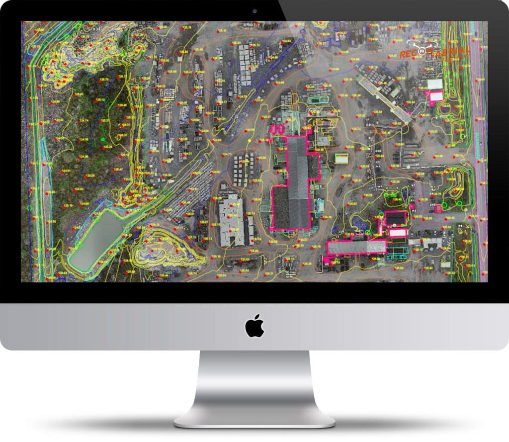
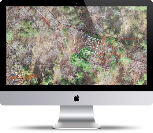
We transform drone mapping and survey control data to AutoCAD line work. We plan, fly and lay ground control for a project location. We process standard photogrammetric exports. We use these georferenced exports to plot standard AutoCAD feature sets. Highly accurate drone to AutoCAD .dwg files in days not weeks!
More InfoDrone Inspection Company Offering Commerical Industrial Drone Inspections
Drone Inspection Company
Qualified, Professional Drone Inspection Company
Recon Aerial is an experienced drone inspection company offering various commercial and industrial drone inspections. Our high-resolution drone photography and 4K video offer excellent results. If you need to inspect an elevated commercial or industrial asset up close, we can deliver excellent drone media that allows you to see what you need to see.
Our drone inspection technology grants unprecedented and immediate access to difficult, hard-to-reach inspection areas, and we also offer custom-designed drone workflows for challenging projects.
Recon Aerial has been in business for years and we have logged 1000’s of drone flights for commercial clients. We are both experienced and qualified project management professionals but also Transport Canada Advanced Operations remotely piloted aircraft system pilots.
Recon Aerial also holds the highest rating for RPAS pilots available, with flight reviewer status we can conduct practical flight reviews the final step in onboarding new RPAS pilots in Canada. We work with many of Canadas’ largest and most influential companies, like SNC Lavelin, Ontario Power Generation, Enercon, Liberty Power, Prowind, SGS Canada, Pomerleau Construction and many more.
What do we inspect using Drones?
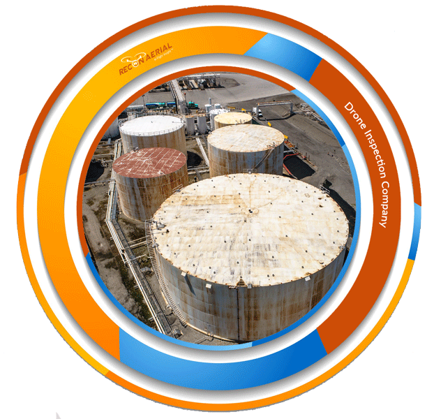
Anything, literally! We specialize in wind turbine inspections and other large energy asset inspections such as dams and power and utility infrastructure. As a premiere drone inspection company we have robust procedures to provide excellent defect detection, review, and reporting. We also use drones to inspect bridges, locks, water tanks as well as oil and gas inspections, and drone-based tank farm inspections.
We have unique services lines for bridge and dam inspection as well as for drone cell tower inspections and drone rail inspections.
We can also easily examine exterior building mechanical systems using drones, conduct drone roof inspections, drone façade and cladding inspections, drone retaining wall inspections, drone topography and slope inspections, drone stack and tower inspections, drone solar farm inspections, drone nesting, and biological surveys and much more.
Many of our inspection services are turn-key drone services. As a drone inspection company, we provide drone flight services but many of our service lines are combined with innovative software technology that amplifies the usefulness of the data we capture.
For example, we inspect wind turbines and generate defect reports for our clients and serve this with a cloud-based system making it incredibly easy for our clients to share and take action on the information we provide.
As a Drone Inspection Company - What do we Inspect?
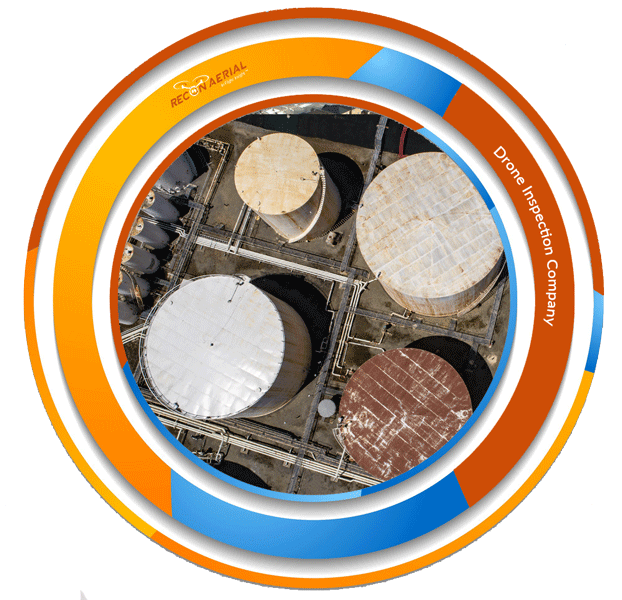
Looking for a Professional Drone Inspection Company? Get in Touch!
Please contact us to get drone inspection pricing. The results will surpass yoru expectations, and we are drone service company that is easy to work with. Typically we provide a complete project proposal within 24hrs. Our pricing is fair and we have the commercial aerial expertise to get the work done right, with out clients’ interests front and center!
Please give us a call, email or setup a project meeting to determine how easy it is to work with us and simply get things done!
FEATURED DRONE SERVICES
Drone Mapping Services - A Modern Tool
Recon Aerial specializes in mapping drone services and aerial drone surveys to create AutoCAD outputs for for civil and road works, drone rail inspections, power and utility planning, energy infrastructure planning, slope analysis, mining and aggregates, land-use management, biological surveys, environmental surveys, property development, urban planning, commercial real estate and information for many other sectors and purposes.
Our first-in-Canada aerial to AutoCAD workflow provides working documents having layered aerial overlays often accurate to less than 5cm. This deliverable is not only georeferenced and ready to drop into your workflow it’s much more useful since it shows the line work directly over the images making it very easy to reference ground features in real time.
Drone Photography
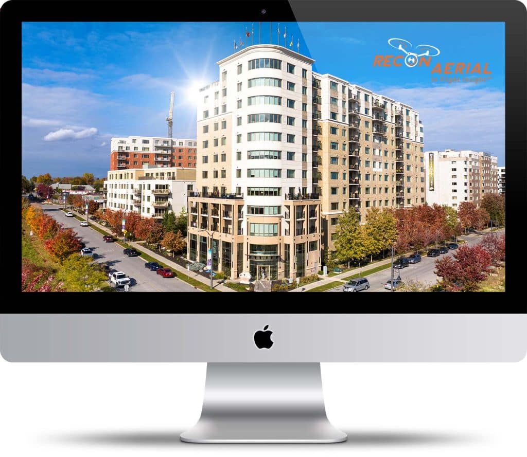
Drone photography is a game-changer for capturing stunning, unique perspectives that were once impossible or super expensive. Whether we’re shooting commerical real estate, movies, TV shows, or events, drones give you that wow factor with aerial views that make your project stand out.
Drones are super versatile, easy to maneuver, and can get into tight spaces or high altitudes without breaking a sweat. Modern drones come with high-resolution cameras and produce incredible results. Drone photography is creative, and fast becoming a standard opening up a whole new world of possibilities for your visuals!
Post-Production Highlight Videos
Drone services provide stunning aerial footage, but post-production is what truly brings videos to life. Professional editing enhances visuals with smooth transitions, color correction, and dynamic effects, creating high-impact content for marketing, real estate, and corporate branding.
A well-produced drone video captures attention, tells a compelling story, and highlights key details that raw footage alone cannot achieve.
Businesses use drone post-production videos to engage audiences, showcase properties, and elevate their brand image. With expert editing, drone services deliver polished, cinematic results that maximize visual appeal and client impact, ensuring your project stands out in a competitive market.
Drone Data Processing to Create Linework Drawings in AutoCAD
Over the years Recon Aerial has flown many photogrammetric mapping missions; now we are lending this expertise to engineers, surveyors, and drone services providers.
Recon Aerial provides Drone Data Processing to Create Linework Drawings in AutoCAD. These highly functional AutoCAD deliverables are used to situate site assets, plan site development, and for site redevelopment.
Recon Aerial has a drone data processing and mapping team to provide standard photogrammetric geo-referenced exports such as 3D mesh, point clouds, contours, digital terrain models, digital surface models, and orthos photos. Our clients use these highly accurate exports to manipulate data in Leica Geosystems, QGIS, Agisoft, 3DF Zephr, Autodesk Recap, and more.
