Get in Touch!

We would love to hear about your project. It's easier than you think and you will be impressed with the results!

Contact Info

  • Ottawa, Headquarters
  • info@reconaerialmedia.com
  • Week Days: 09.00 to 17.00

Drone Services Pricing & Cost

Recon Aerial > Drone Services Pricing & Cost
Drone Services Pricing

Drone Services Pricing 

We make it exceptionally easy for you to get a good price for your project, no more no less.
Brian Stoneman, President of Recon Aerial

Brian M. Stoneman

President, Recon Aerial

Clear drone services pricing, with no surprises. Here’s where most projects start:

Every quote includes site planning, airspace approvals, a Transport Canada Advanced Pilot and $5 million in liability coverage. The price we quote is the price you pay.

With over ten years of experience, thousands of flights and several first-in-Canada workflows, we could charge premium rates. We don’t, because we’d rather earn long-term clients than one-time invoices. That’s why our clients keep coming back, project after project.

Tell us about your project and get a quote the same day.

pricing for drone services

10

+
Years Of Experience
Drone Services Pricing

Drone Services Pricing - Ranges

These are typical ranges for drone services pricing. Your project may be more or less since the pricing for your project is tailored specifically to your needs. We have a lot of experience so rest assured that once we’ve provided you a quote, your pricing will as promised. No funny business!

Media Capture

Starting $399
  • Expert Visuals
  • Min 4K Quality
  • Cinematic Shots
  • Any Format
  • When You Need It!

Inspections

Starting $999
  • Enterprise Grade Eq.
  • Proven Workflows
  • Advanced Pilots
  • Min 5 Million Liability
  • Experience Matters!

Mapping

Starting $1449
  • Mapping Drones
  • GNSS Recievers
  • Mapping Exports
  • AutoCAD Deliverable
  • Direct to Desktop!

Data ++

Starting $1999
  • Expert Planning
  • Efficient Execution
  • Engineering Review
  • Detailed Analysis
  • Reports You Can Trust!
Client Proof

Google Client Reviews

Pricing Details

Drone Services Pricing Details

Here is a bit more insight on pricing for aerial media and data capture. Every project is different but we categorize our pricing according to the level of effort required to get the job done right.

drone-photos-and-video-pricing.png
Drone Services Pricing

Drone Services Pricing for Media Capture

Drone services pricing for drone media capture starts at $399.00. We also recover travel costs to and from each location.

First and foremost our aerial photography pricing includes; a thorough review of our clients’ operations and objectives to ensure we deliver exactly what’s needed. If you aren’t completely satisfied we will reshoot it for free, but this has never happened!

Drone services pricing for each project also includes a thorough risk review, site planning, airspace approvals, equipment preparation, mobilization/demobilization, a highly skilled and qualified advanced operations drone pilot, data management, and sharing. To protect our clients we also carry 5 million aviation liability, and 5 million general commercial liability insurance.

We specialize in drone photo and video capture for websites, social media marketing, digital ads, virtual tours/interactive media, profiles and case studies, project portfolios and more.

Drone marketing media suits commercial real estate and property development, senior living, tourism and hospitality, events, cinema and movies, corporate branding, construction and infrastructure projects, advertising, and much more.

We also create post-production marketing videos. If you need great video content to support your project you can count on us to get it done. Check out this example we created for Ecosystem, this one created for Flyover Canada, one we worked on for Colliers Commercial real estate and another we completed for Melatti Construction.

Drone Services Pricing

Construction Progress Photography Pricing

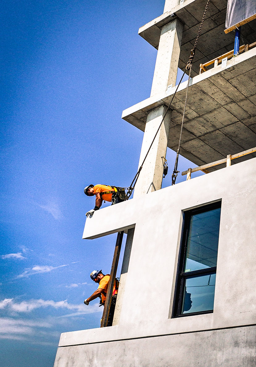
Our construction progress photography starts at $499 per visit. The more often we fly, the less each visit costs:

  • Single visit or monthly: $699 per visit
  • Bi-weekly: $599 per visit
  • Weekly: $499 per visit

Final pricing depends on the size of your site, its location, airspace requirements and any add-ons such as video, mapping or a final project timelapse. Sites outside our regular service area may include a travel fee.

Every visit includes flight planning, airspace approvals, a Transport Canada Advanced Pilot and our $5 million aviation and general liability coverage. We set fixed shooting positions at the start of your project and return to them on every flight, so each set of photos lines up with the last. You receive dated, organized photos within days, ready to drop into owner reports, lender draw reviews or investor updates.

Our progress photography is used by developers, general contractors, lenders, owner’s representatives and project managers on everything from residential developments to large infrastructure projects.

See how it works on our construction progress photography page, or reach out for a quote. Most quotes go out the same day.

drone-service-pricing-for-inspections-4.png
Drone Services Pricing

Drone Inspections Services Cost

Curious about drone services pricing? Our drone inspections start at just $999.00, but costs can vary depending on the type of inspection, the equipment deployed, the complexity/risk linked to the work and the level of effort required.

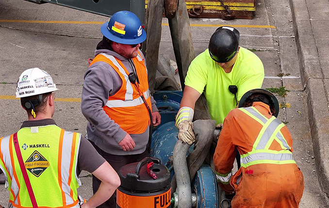
While data collection for inspections is similar to drone media capture, it takes things a step further. Drone inspections require specialized equipment, an experienced pilot, a dedicated visual observer, a fully tested workflow, advanced software, and expert-level knowledge to ensure accurate and reliable results.

Many inspections take place in challenging environments—often near high-value assets—so safety and protection are a top priority. That’s why we carry $5 million in CGL and aviation liability insurance to give our clients peace of mind.

We’ve successfully conducted inspections on wind turbines, dams, bridge infrastructure, telecom towers, radio towers, building facades, roofs, construction sites, industrial boilers, flare stacks and water towers. Over the years, we’ve also mapped and surveyed numerous properties for various development projects.

Want to see an example of an inspection service line? Check out our info on wind turbine blade inspections or reach out—we’re happy to help

Drone Services Pricing

Drone Mapping, and Surveying

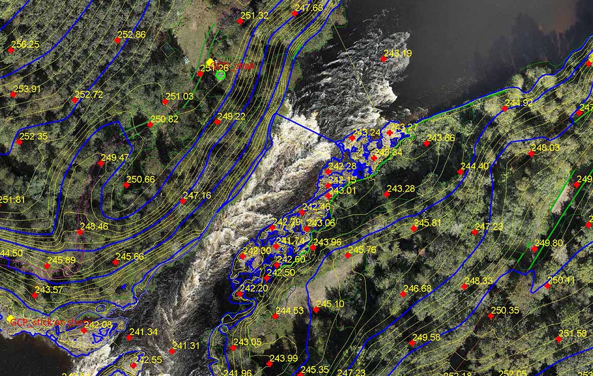
Looking for drone services pricing? Our drone-based mapping and surveying operations start at just $1,499. There are two main cost components to consider:

  • Cost for Operations (a flat fee)
  • Cost for Processing (charged per acre + any additional costs)

The operations fee is a fixed price, while processing costs depend on the size of the area, the complexity of the project, and the number of features included in the AutoCAD exports.

For basic drone mapping projects in rural areas, pricing is around $35 per acre. More complex as-built feature extraction projects typically range from $60 to $80 per acre.

Since every project is unique, total costs can vary quite a bit. If you’re unsure about pricing for your specific needs feel free to reach out and share the details for a quick quote.

For more details, check out our Aerial Mapping & Surveying services to learn more about Drone-Based Surveying or explore how we process line work from aerial drone data.

Got questions about drone services pricing? We’d love to help—just ask!

drone-pricing-for-mapping-and-surveying.png
drone-data-interpretation-and-reporting.png
Drone Services Pricing

Drone Pricing for Drone Data Transformation

When it comes to drone services pricing, there’s no one-size-fits-all approach—especially for complex projects that require data processing and analysis. At Recon Aerial, we don’t just capture drone footage; we transform data into valuable insights through advanced processing, AI-driven analysis, and expert reporting.

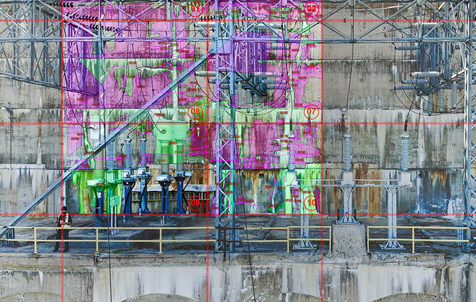
For example, we completed a first-of-its-kind project for SNC-Lavalin and Ontario Power Generation, mapping damage on a remote hydroelectric dam. This involved flight planning, data collection, AI processing, and engineering review—over 300 hours of work! The result? A detailed damage map, engineering reports, and Aerial AutoCAD diagrams used to secure funding for major repairs.

Because projects like these are so specialized, drone services pricing varies. Factors like project complexity, equipment, legal requirements, data interpretation, and location all impact costs. While pricing can range from $5K to $100K+, we tailor every quote based on your specific needs.

Some examples of our high-end drone services include:

  • Wind turbine blade inspections – AI-powered defect reports down to the millimeter.
  • Dam and bridge inspections with defect markups
  • Land development mapping – Georeferenced overlays for site development, as-built creation, and urban planning.

Whether you need aerial inspections, surveys, or custom data analysis, we provide expert solutions with clear, value-driven pricing.

Let’s chat about your project and find the best approach for you!

Brian Stoneman, President of Recon Aerial

Brian M. Stoneman

President, Recon Aerial
Our services

Principal Drone Services

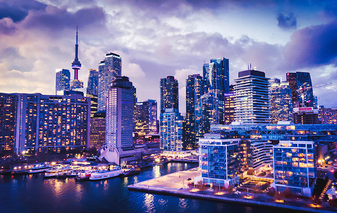
Aerial drone photo of the Toronto skyline
Media Capture and Production
If you can think of it, we've shot it! Movies, TV shows, documentaries, commercials, commercial real estate, backplating, 3D modelling, project briefs, pitch decks, websites, social media and post-production project videos. We love to get creative, so challenge us and see what we can do!
Drone inspection of critical infrastructure
Drone Inspections
We've inspected many types of critical infrastructure, including wind turbines, power lines and electrical infrastructure, building facades, bridges, cell towers, dams, railways, roofs, flare stacks and solar panels. We provide high-resolution imaging, often backed by AI, to detect damage or inefficiencies.
Drone mapping and surveying deliverable
Mapping and Surveying
We use the best drones and survey receivers to create highly accurate maps, and we offer a first-in-Canada Aerial-to-AutoCAD workflow. We deliver survey-grade mapping images with georeferenced linework directly to our clients' desktops. Because the linework is layered on georeferenced images of your site, it's more useful than traditional survey drawings. Just open the files and get to work!
Drone services for construction sites
Construction Sites
We offer construction progress photography, site management media, live-stream timelapse services and CAD mapping. We help site staff and project managers see their site from a different perspective, which cuts down evaluation time, helps predict problems before they occur and keeps projects on schedule. Project managers can quickly confirm work completion.