
Get in Touch!

We would love to hear about your project. It's easier than you think and you will be impressed with the results!

Contact Info

  • Ottawa, Headquarters
  • info@reconaerialmedia.com
  • Week Days: 09.00 to 17.00

Drone Photography Services

Recon Aerial > Drone Photography Services
Drone Photography Services

Drone Photography Services

Commercial drone photography, on time, on budget and with zero hassle

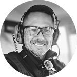
Brian Stoneman, President of Recon Aerial

Brian M. Stoneman

President, Recon Aerial

Capturing progress, showcasing a property or documenting a site shouldn’t be complicated or costly. Recon Aerial provides professional drone photography services for commercial and industrial clients across Ontario and Quebec, with high-quality aerial photos delivered fast and at a fair price.

Here’s what you might be dealing with—and how we solve it:

  • You’re not getting the images you actually need.
    We deliver purpose-driven aerial photography with a sharp focus on your goals.

  • Your current provider is slow or unresponsive.
    We’re fast, communicative, and respect your deadlines—every time.

  • You’re paying too much for mediocre results.
    We offer premium-quality drone imagery at great value, no fluff.

  • You’re unsure about compliance and liability.
    Our certified pilots operate with full Transport Canada approval and $5M liability coverage.

  • You need visuals that impress stakeholders.
    From crisp stills to dynamic aerial video media, we create content that gets attention and drives decisions.

Drone photography that delivers real value.
Whether you’re marketing a commercial property, documenting a development or capturing hard-to-reach perspectives, we make your job easier and your visuals better.

drone photography services windsor ontario

10

+
Years Of Experience

10

+
Years of experience
drone photography services_2

Capture more than just images—our drone photography services deliver sharp visuals, powerful perspectives, and real results that elevate your brand and move your project forward.

Drone Photography Services

Aerial Drone Photography That Tells Your Story

Great aerial drone photography isn’t just about getting a camera into the sky. It takes years of photography experience to capture something truly impressive. We’ve spent countless hours perfecting composition, lighting, movement and timing, sometimes arriving before sunrise to catch the perfect golden-hour shot.

Great images also need to say something. That’s why we take the time to understand exactly what you want to communicate, whether it’s showcasing a commercial property, documenting a development or giving your marketing team visuals that stand out.

drone photography services picture of skyscraper

+
Years of experience
drone photography services picture of skyscraper
Drone Photography Services

What You Get With Our Drone Photography Services

High-Resolution Aerial Photos, Ready to Use

Every shoot delivers high-resolution drone photos in the format you need (16:9, 4:3 or 3:2), shot in RAW whenever possible for maximum flexibility in editing. Need video too? Our drone videography services capture footage in crisp 5.1K.

Our aerial photos are used in project briefs, development updates, commercial real estate investment packages, brochures, websites, presentations and social media. Our work has also appeared in four television shows, including Discovery Channel’s Adventure Cities.

drone photography services
Drone Photography Services

Professional Drone Photography Services

Reliable Results in Any Season

Recon Aerial provides professional drone photography services for commercial real estate, development, media and industrial clients. With experience supporting TV productions and large-scale projects, we know how to capture what you need, on time and on point.

Weather doesn’t always cooperate, and some projects need shots at a specific time or in exact lighting. When conditions aren’t perfect, we don’t pause, we adapt. Our drone photographer captures the best possible images on the day, and our post-production team enhances them so they look their best, even on an overcast winter afternoon.

If you need drone photography that’s flexible, reliable and focused on results, we’re ready to get to work.

Pricing

Drone Photography Pricing

Great Value, Incredible Impact

Our drone photography services start at $399, including site planning, airspace approvals, a Transport Canada Advanced Pilot and full liability coverage. Final pricing depends on location, the number of shots and any editing or video you add. See our full drone services pricing or get a same-day quote.

Drone Photography Services

Our Aerial Photography Portfolio

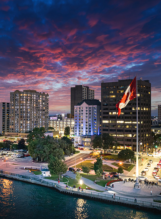
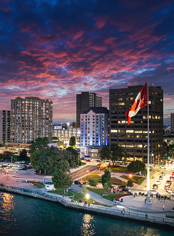
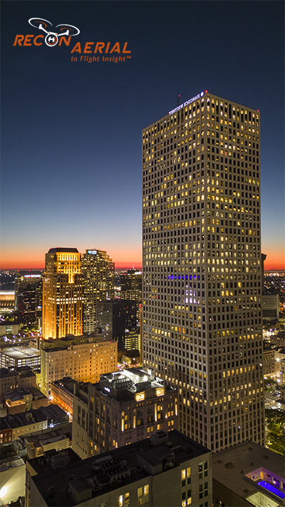
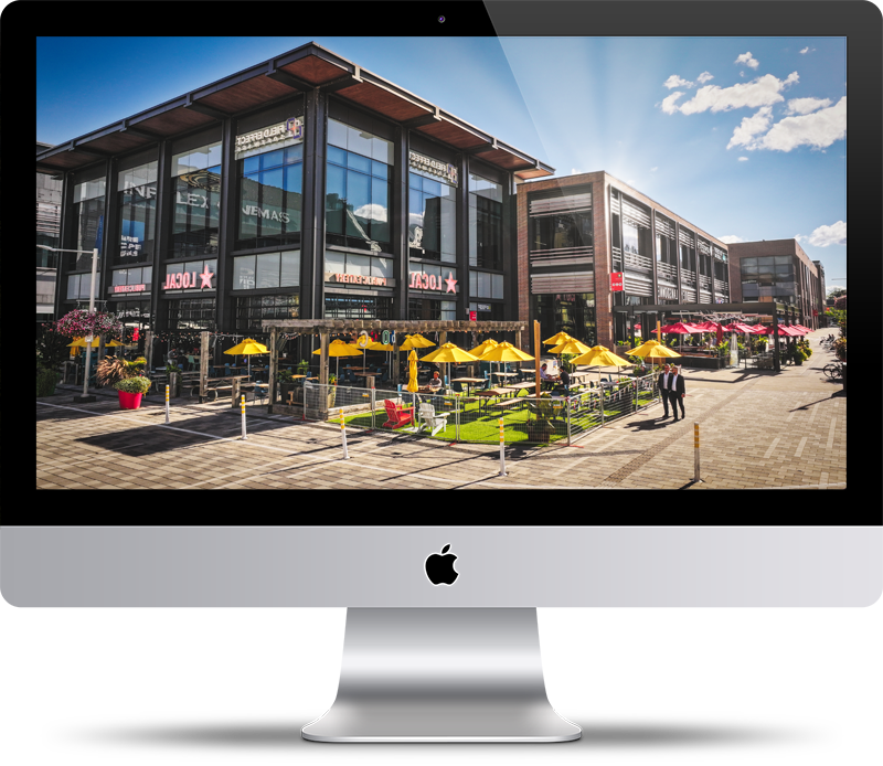
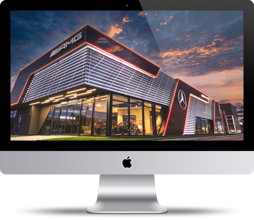
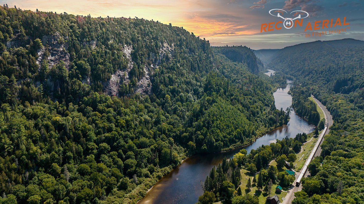
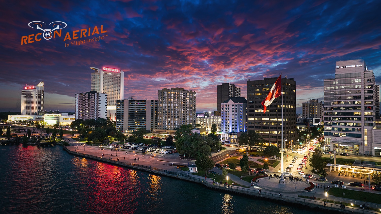
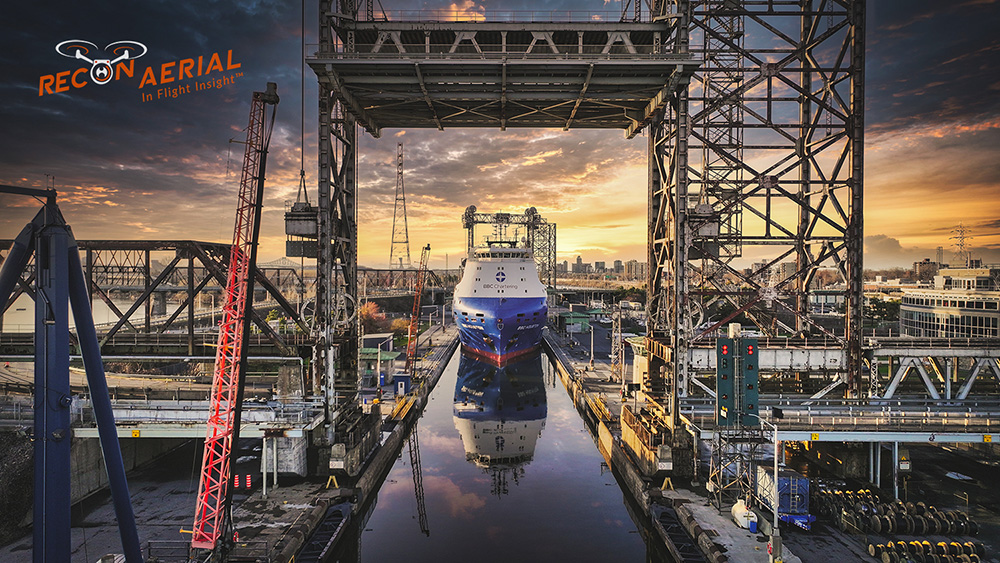
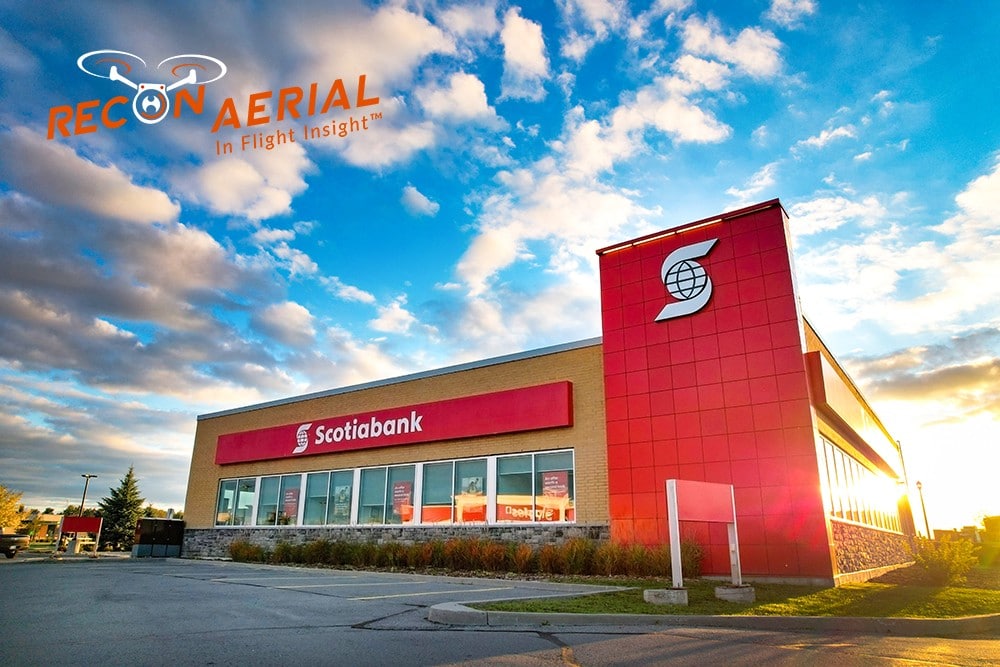
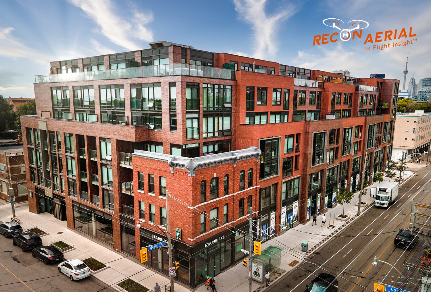
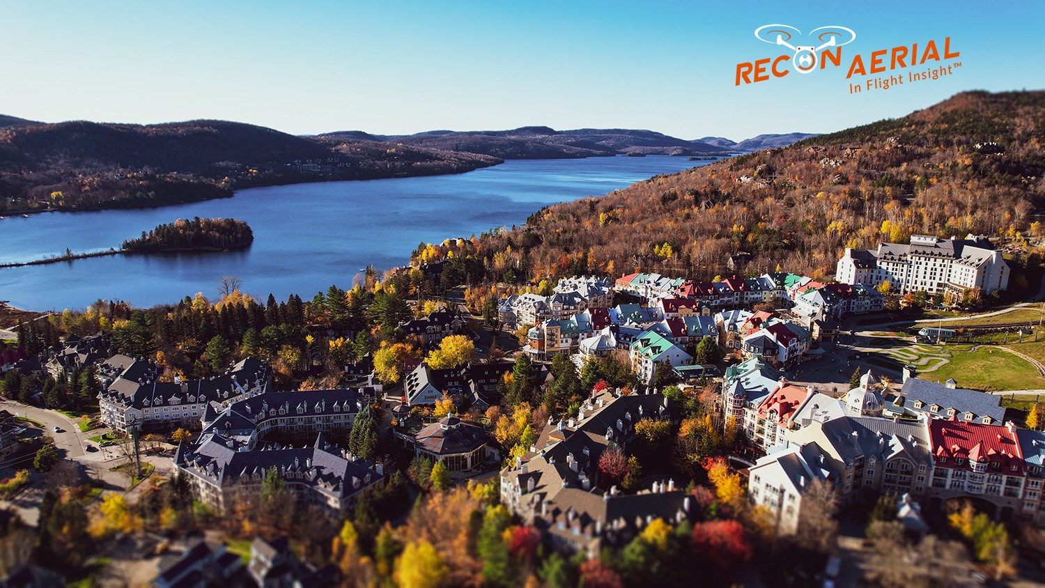
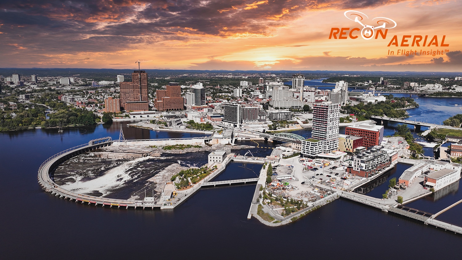
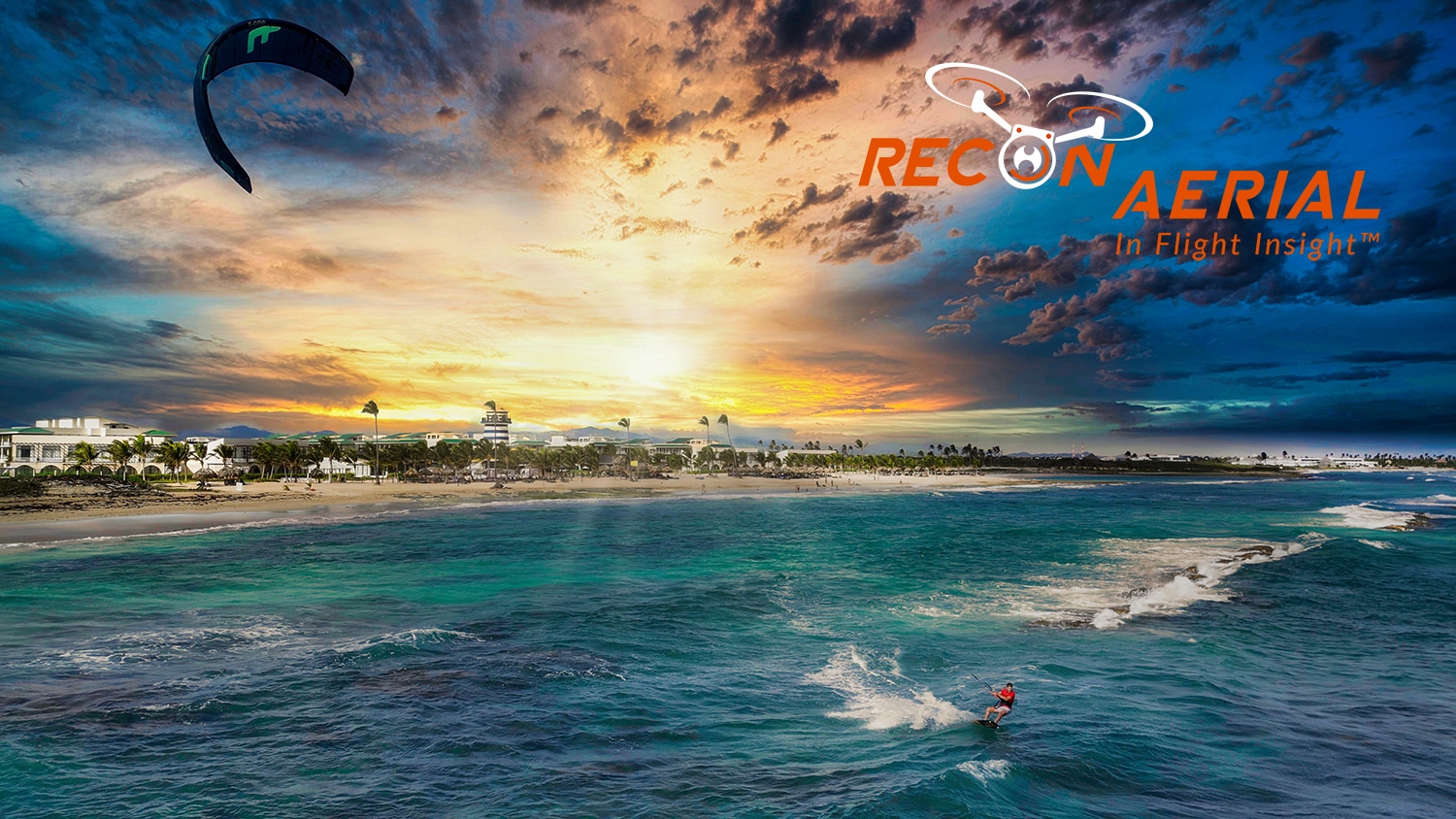
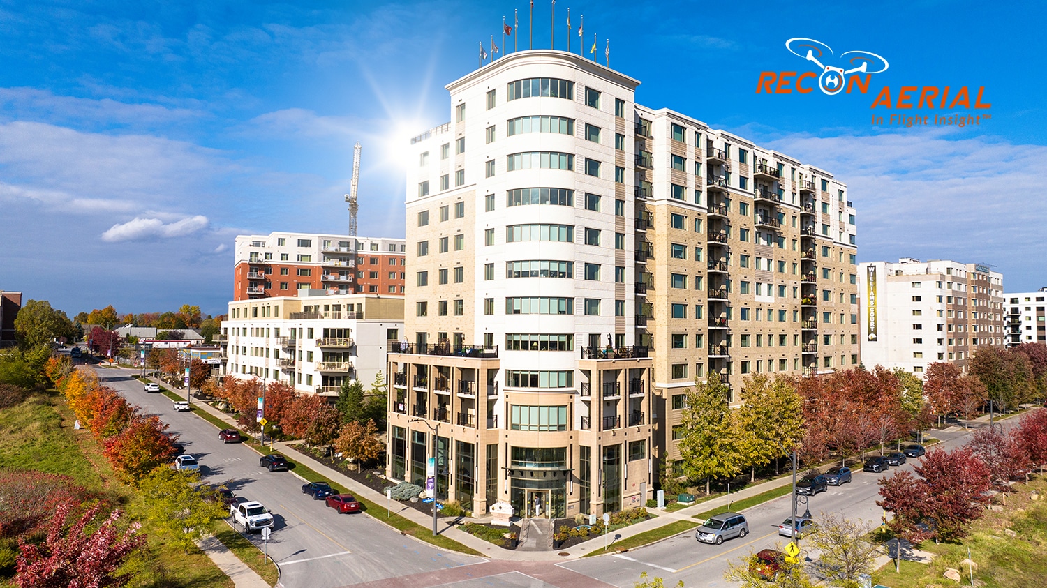
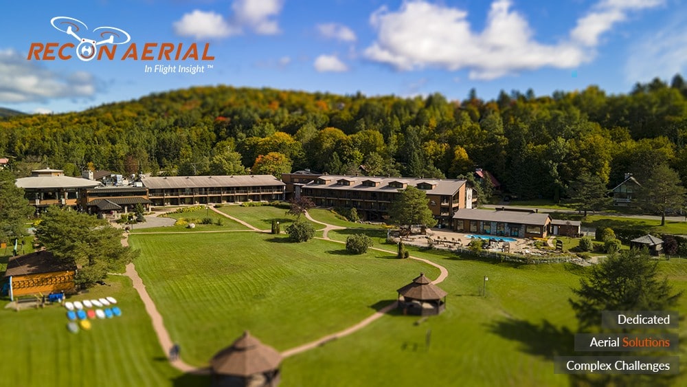
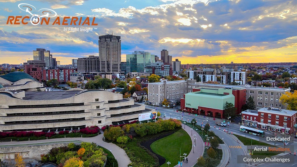
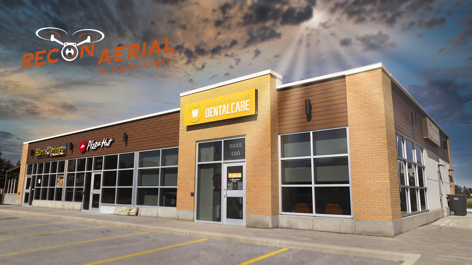
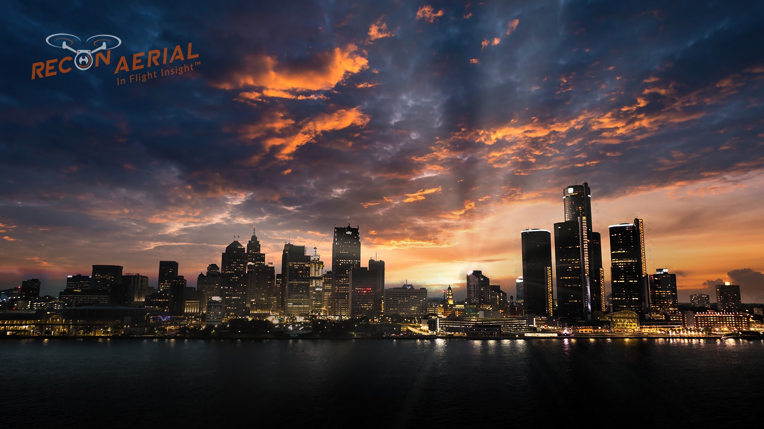
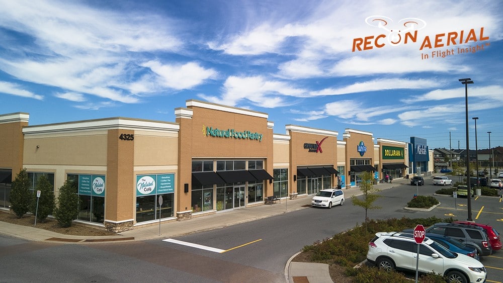
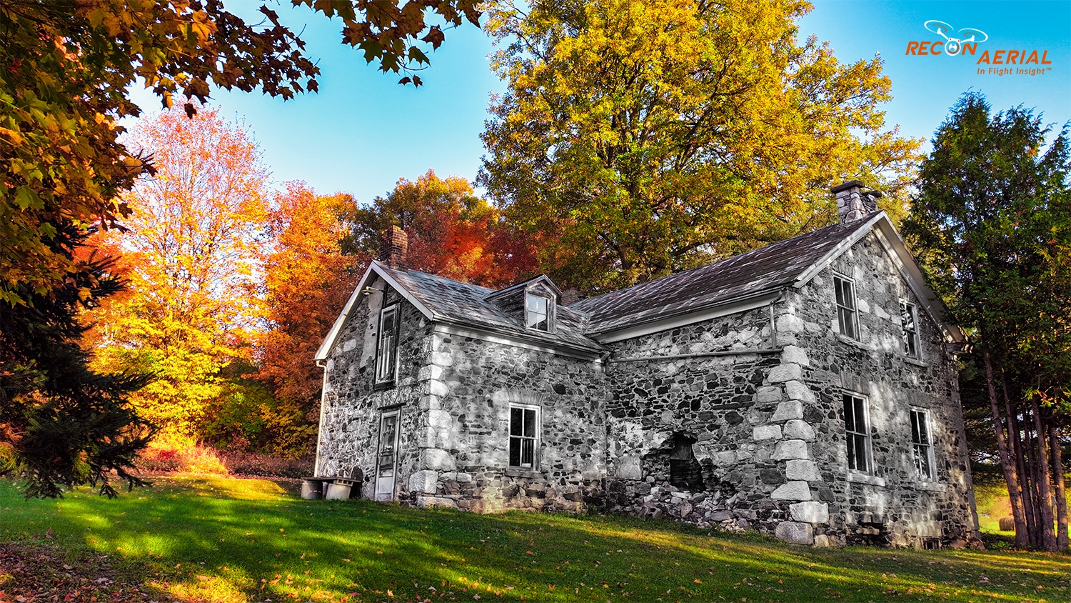
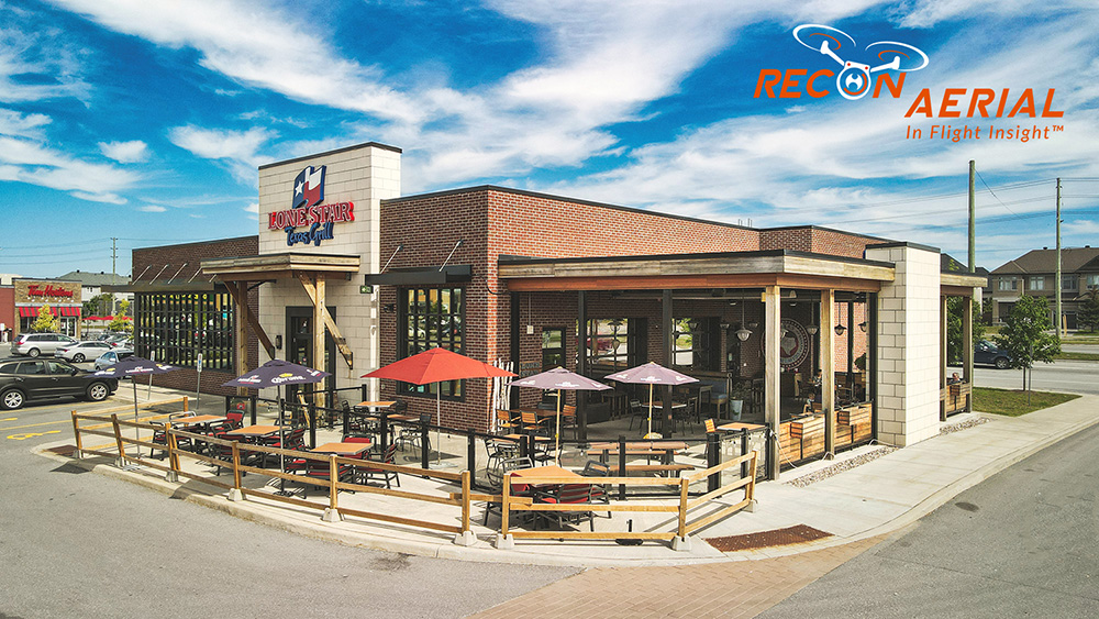
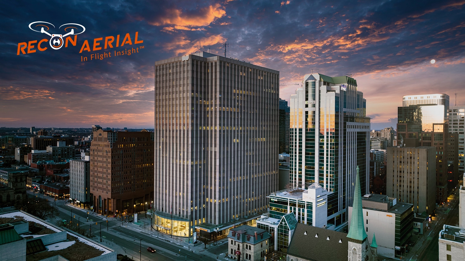
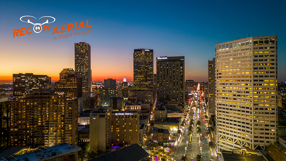
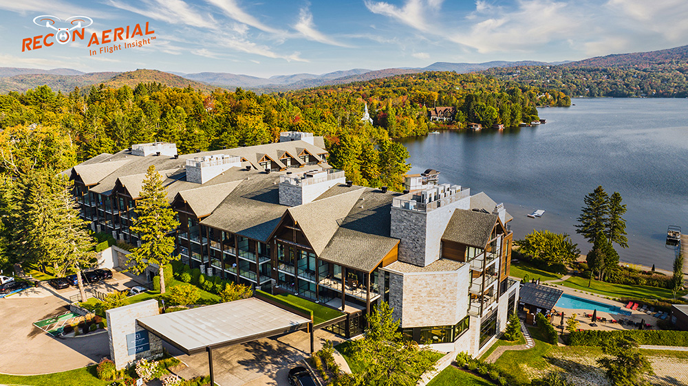
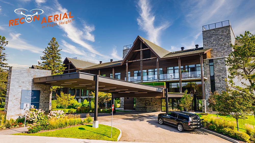
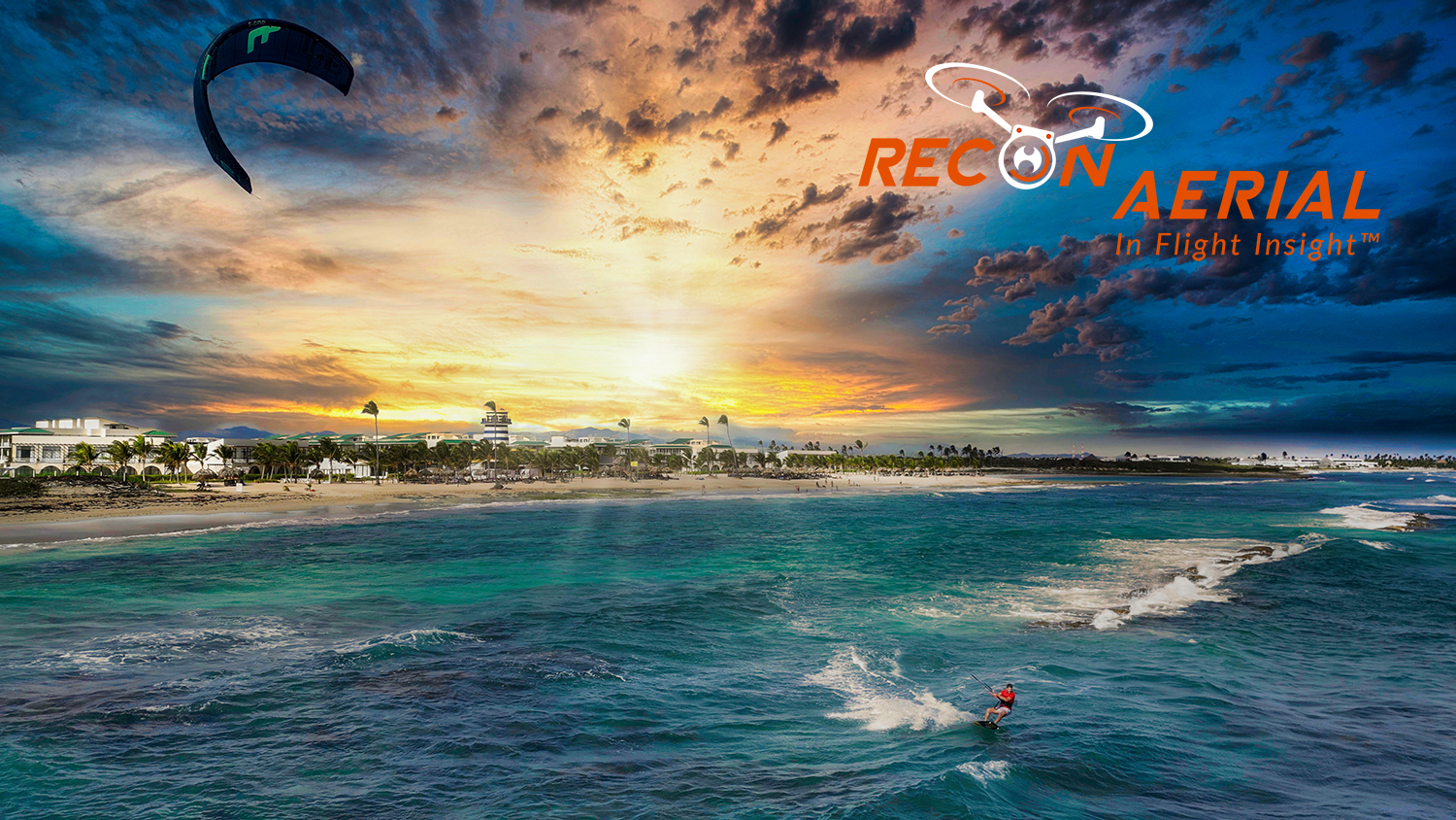
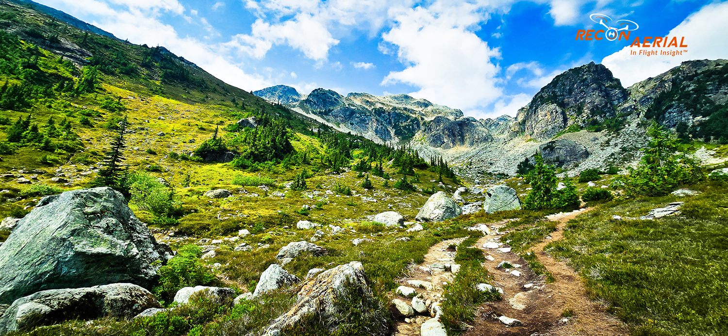
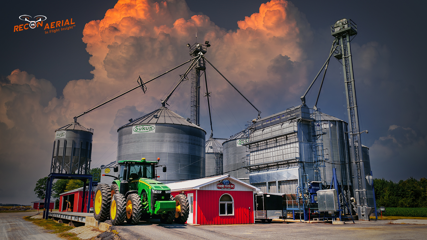
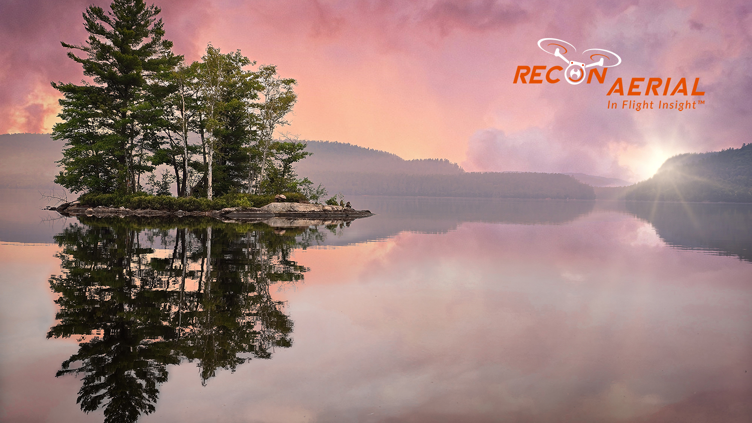
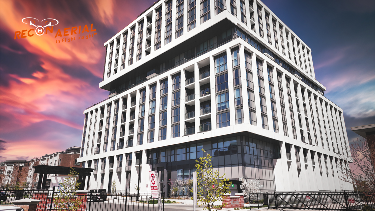
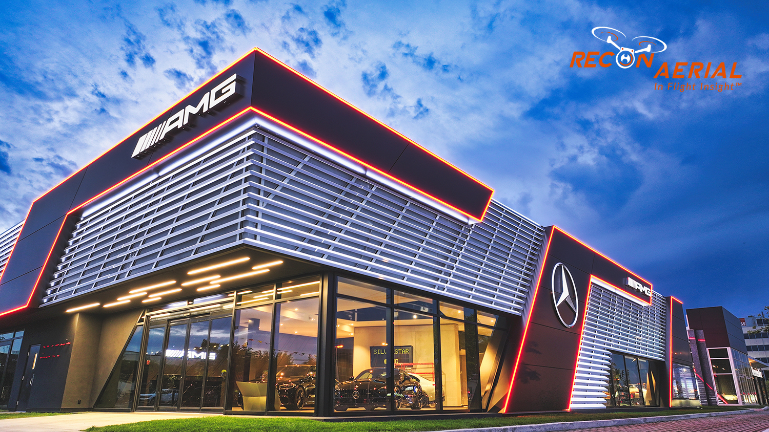
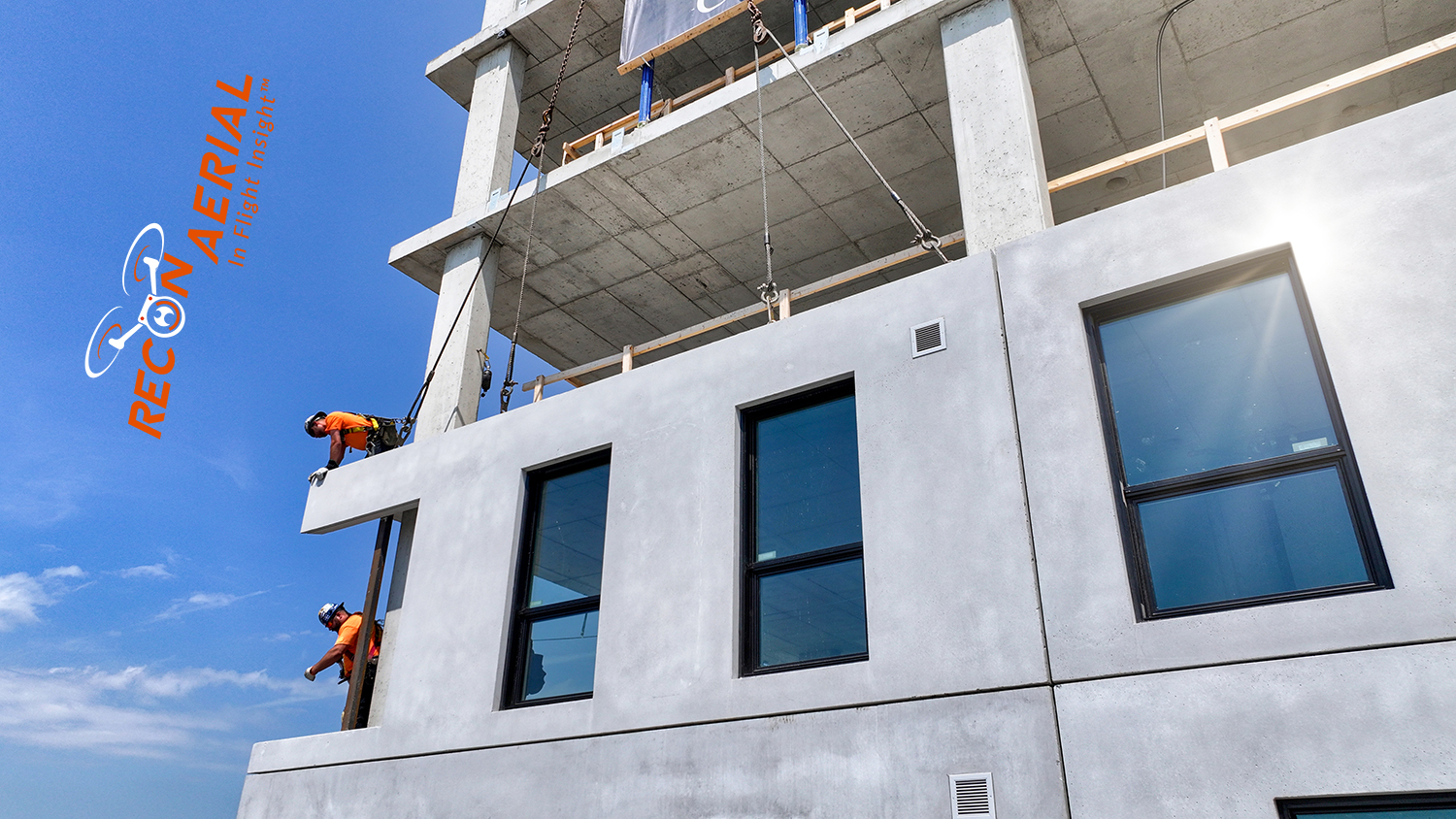
From city skylines to commercial developments, hotels, industrial sites and landscapes, here’s a selection of our aerial photography. Our drone photos have appeared in movies, TV series, development projects and commercial property sales, and we’ve supported specialized work such as backplating and 3D visualization.

360 Panorama Views

360° Aerial Panoramas

Our drones also capture 360° aerial panoramas that let viewers look in every direction from above. They’re especially popular in commercial real estate, construction and advertising, giving your clients an all-encompassing view of a site and its surroundings

Photo Editing

Professional Photo Editing and AI Enhancement

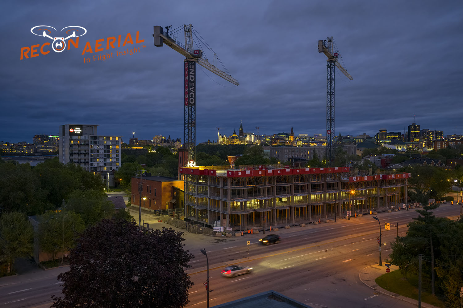
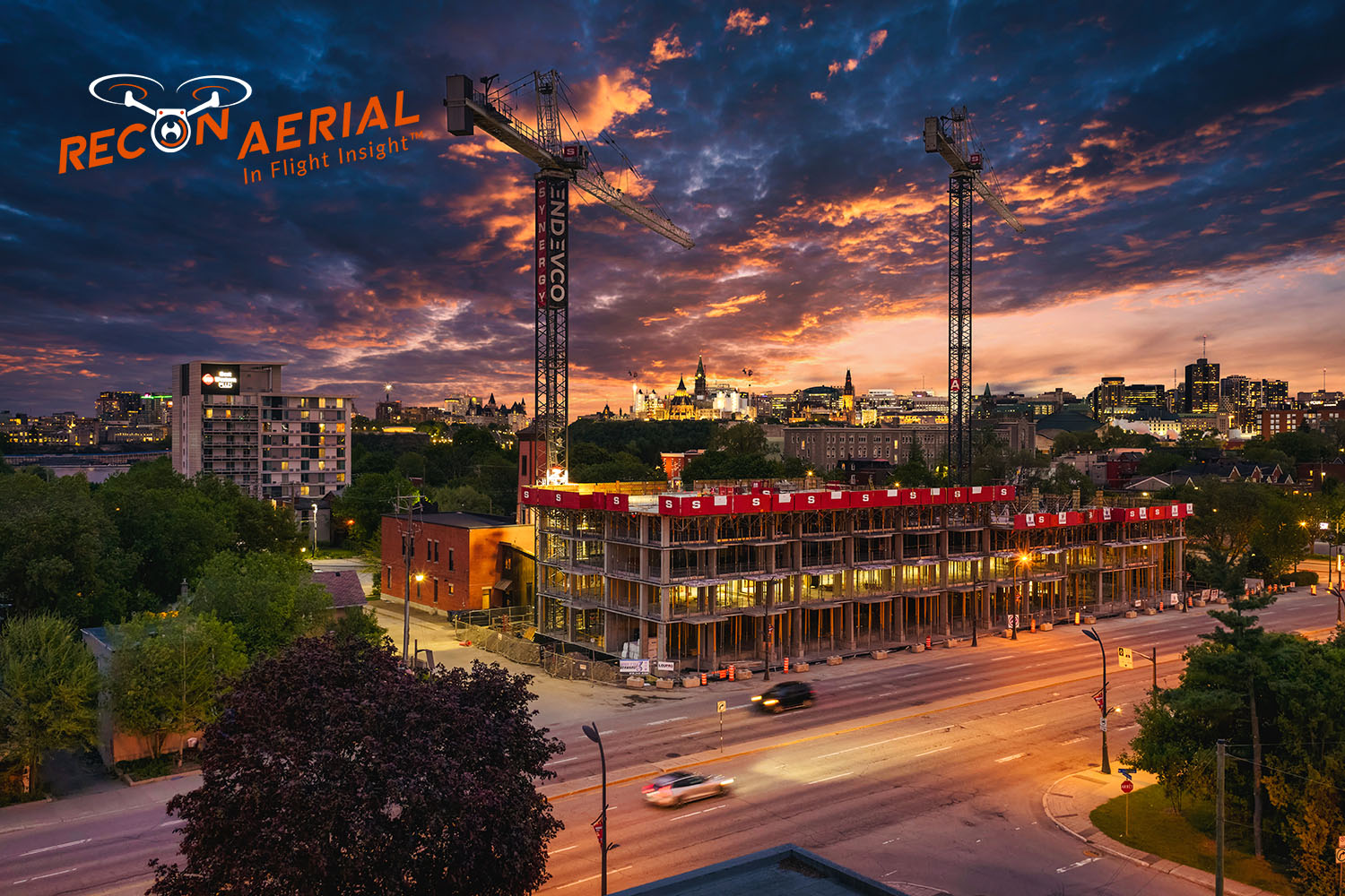
Great aerial photos don’t end when the drone lands. Our post-production team uses professional editing software and AI-based tools to correct colour, sharpen detail and turn a well-composed shot into an image your clients will remember. Drag the slider to see the difference.

Raw Photo Edited Photo
Aerial Photography

Need Video Too?

Our drone videography services capture cinematic aerial footage for marketing, development updates and commercial real estate, with full post-production available.

drone videography services

Amazing Videos

For Your Project
FAQ

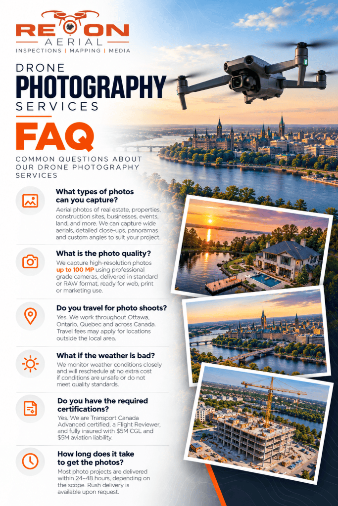
Drone Photography FAQ

We love hearing from you directly but just in you have a few questions first.

Expert services and communication. A thorough understanding of what you want to acheive. High-resolution aerial photos in your choice of format, delivered online and ready for websites, brochures, presentations and social media. RAW files are available on request.

Most shoots are scheduled within a week, and photos are often delivered as soon as the next day.

Yes. All our pilots are Transport Canada-certified Advanced Pilots, and we carry $5 million in aviation and general liability insurance.

Yes. Commercial real estate is one of our core services, including office buildings, industrial sites, retail centres, hotels and development land.

Progressively communicate flexible human capital with best-of-breed schemas. Completely develop 2.0 infrastructures via bleeding-edge opportunities. Completely initiate world-class leadership skills via fully tested applications. Objectively seize dynamic e-services and accurate markets.

faq for drone photography services3

Didn't find an Answer?

Our services

Principal Drone Services

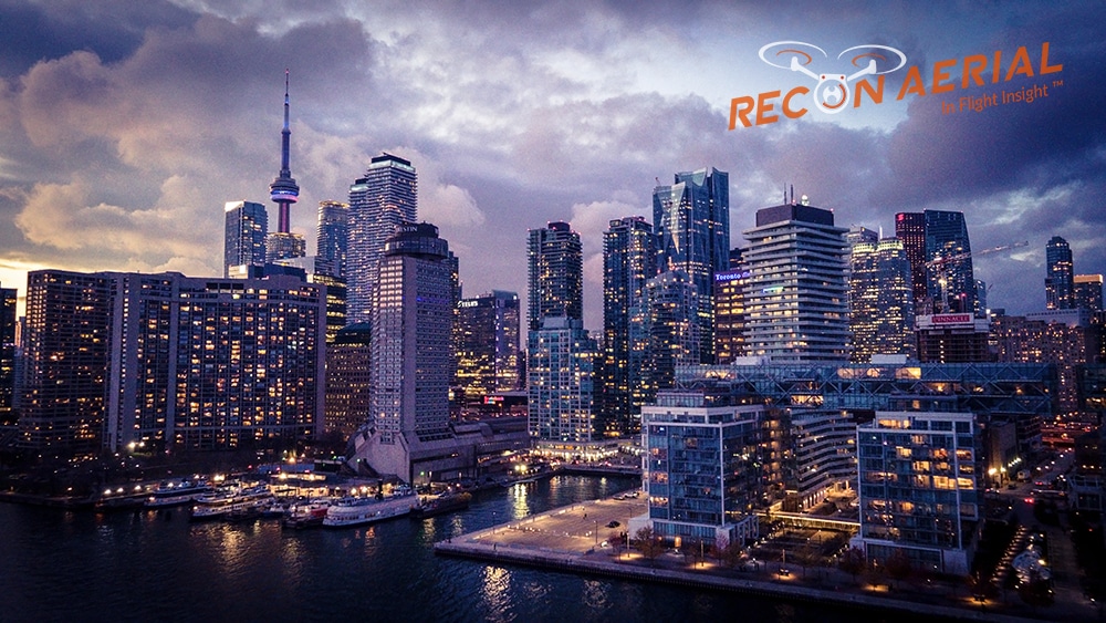
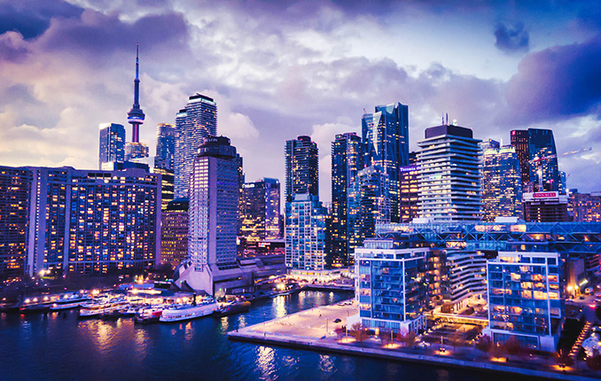
Aerial drone photo of the Toronto skyline
Media Capture and Production
If you can think of it, we've shot it! Movies, TV shows, documentaries, commercials, commercial real estate, backplating, 3D modelling, project briefs, pitch decks, websites, social media and post-production project videos. We love to get creative, so challenge us and see what we can do!
Drone inspection of critical infrastructure
Drone Inspections
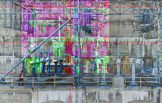
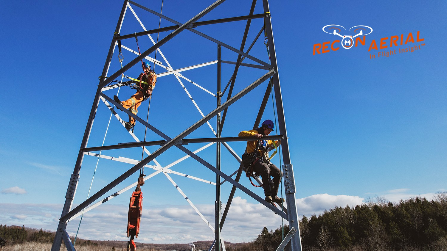
We've inspected many types of critical infrastructure, including wind turbines, power lines and electrical infrastructure, building facades, bridges, cell towers, dams, railways, roofs, flare stacks and solar panels. We provide high-resolution imaging, often backed by AI, to detect damage or inefficiencies.
Drone mapping and surveying deliverable
Mapping and Surveying
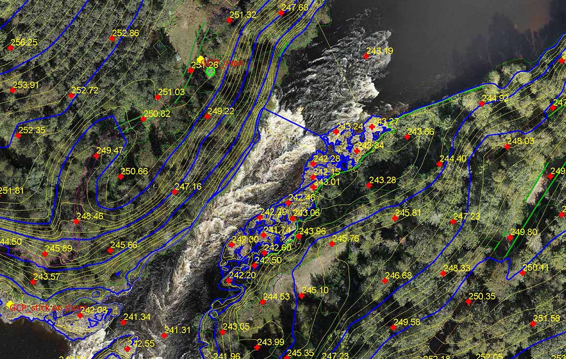
We use the best drones and survey receivers to create highly accurate maps, and we offer a first-in-Canada Aerial-to-AutoCAD workflow. We deliver survey-grade mapping images with georeferenced linework directly to our clients' desktops. Because the linework is layered on georeferenced images of your site, it's more useful than traditional survey drawings. Just open the files and get to work!
Drone services for construction sites
Construction Sites
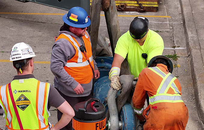
We offer construction progress photography, site management media, live-stream timelapse services and CAD mapping. We help site staff and project managers see their site from a different perspective, which cuts down evaluation time, helps predict problems before they occur and keeps projects on schedule. Project managers can quickly confirm work completion.
Our Work

We Get Around!

about recon aerial drone services
10
+

Years Strong

about recon aerial drone services
475
+

Happy Clients

about recon aerial drone services
1500
+

Missions Flown

about recon aerial drone services
500000
+

Kilometers Travelled