Get in Touch!

We would love to hear about your project. It's easier than you think and you will be impressed with the results!

Contact Info

  • Ottawa, Headquarters
  • info@reconaerialmedia.com
  • Week Days: 09.00 to 17.00

About Recon Aerial

Recon Aerial > About Recon Aerial
About Recon Aerial

Drone Services Across Ontario and Quebec Since 2015

We make it easy to get expert drone media quickly and with little to no effort for you!

Want to know more about Recon Aerial?

We’re a seasoned drone service provider with over 10 years of experience delivering high-impact results across media, mapping, and inspection projects. Our team of Transport Canada Advanced Operations-certified pilots flies top-tier 922 Assured/approved drones, backed by $5 million in both CGL and aviation liability coverage. With thousands of successful drone missions and a spotless safety record, you can trust Recon Aerial to get the job done right.

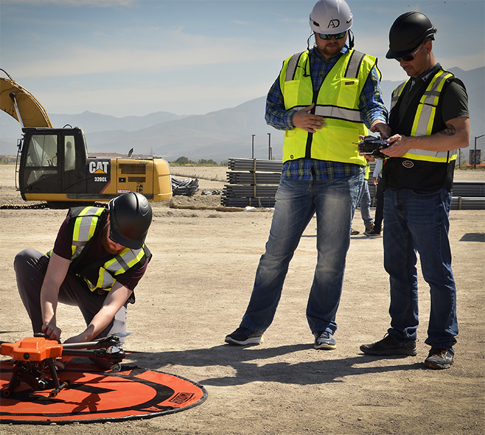
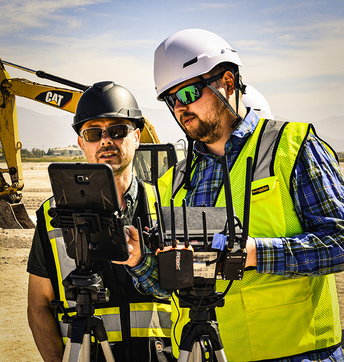
What sets us apart? We specialize in complex drone flight operations, even in high-risk or logistically challenging environments. When we say yes to a project, it’s because we know we can deliver—either through proven experience or creative problem-solving honed over a decade in the field.

Need jaw-dropping visuals? We shoot cinematic 5.1K+ aerial footage that makes your project pop. Need to showcase a build, a landscape, or a location? We’ve got the imagery to elevate your story.

Looking for reliable drone inspections? We provide crystal-clear imaging data for wind turbines, solar fields, building facades, bridges, and more—helping you pinpoint damage, wear, or inefficiencies fast.

Managing a construction site? We offer AI-driven monitoring through OpenSpace, real-time progress tracking, timelapse services, and detailed 3D models to keep your project on schedule.

Need mapping and surveying? Our drone mapping services deliver precise, survey-grade AutoCAD outputs with planimetric overlays that integrate seamlessly into your engineering or architectural workflows.

If you’re looking for professional drone services in Canada, Recon Aerial is the trusted name to know. Let’s fly.

about recon aerial drone services

10

+
Years Of Experience

We take great pride in having been a part of Canada's drone services industry for many years.

Every new idea from a client presents a unique challenge and an opportunity to innovate, learn, and push the boundaries of creativity.
Client Proof

Google Client Reviews

Working process

How We Deliver Drone Services

Consultation

Here's where we take a time to understand your business, what you are trying to accomplish. Armed with this info we often recommend even better ways to get the work done for the same cost.
01

Planning

We plan drone services operations we have 3 things in mind. Our goals are to save you time, money or limit risk. Our focus is on flight safety, flight efficiency and getting the work done as quickly as possible.
02

Flight Operations

Drone operations can be tricky. It's always a balance between operational risks and the deliverable. Highly complex or straight forward? Our goal is the same, to understand what you need, the flight environement and how to deliver safely.
03

Deliver

Providing you with exactly what you need is our top priority. We're experienced project managers skilled in handling complex data requirements across construction, inspection, film, TV, and various other industries.
04
Our services

Principal Drone Services

Aerial drone photo of the Toronto skyline
Media Capture and Production
If you can think of it, we've shot it! Movies, TV shows, documentaries, commercials, commercial real estate, backplating, 3D modelling, project briefs, pitch decks, websites, social media and post-production project videos. We love to get creative, so challenge us and see what we can do!
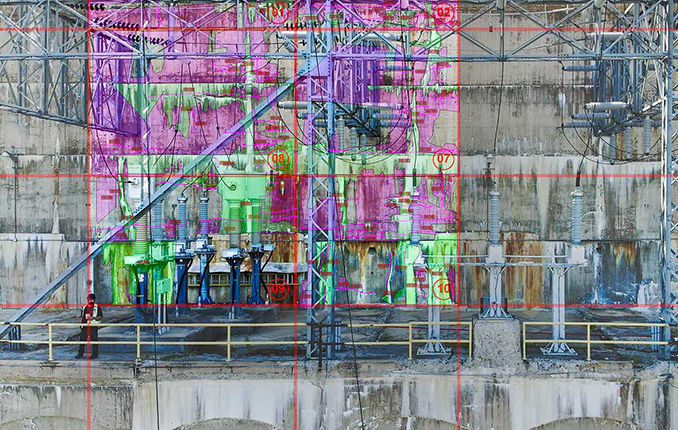
Drone inspection of critical infrastructure
Drone Inspections
We've inspected many types of critical infrastructure, including wind turbines, power lines and electrical infrastructure, building facades, bridges, cell towers, dams, railways, roofs, flare stacks and solar panels. We provide high-resolution imaging, often backed by AI, to detect damage or inefficiencies.
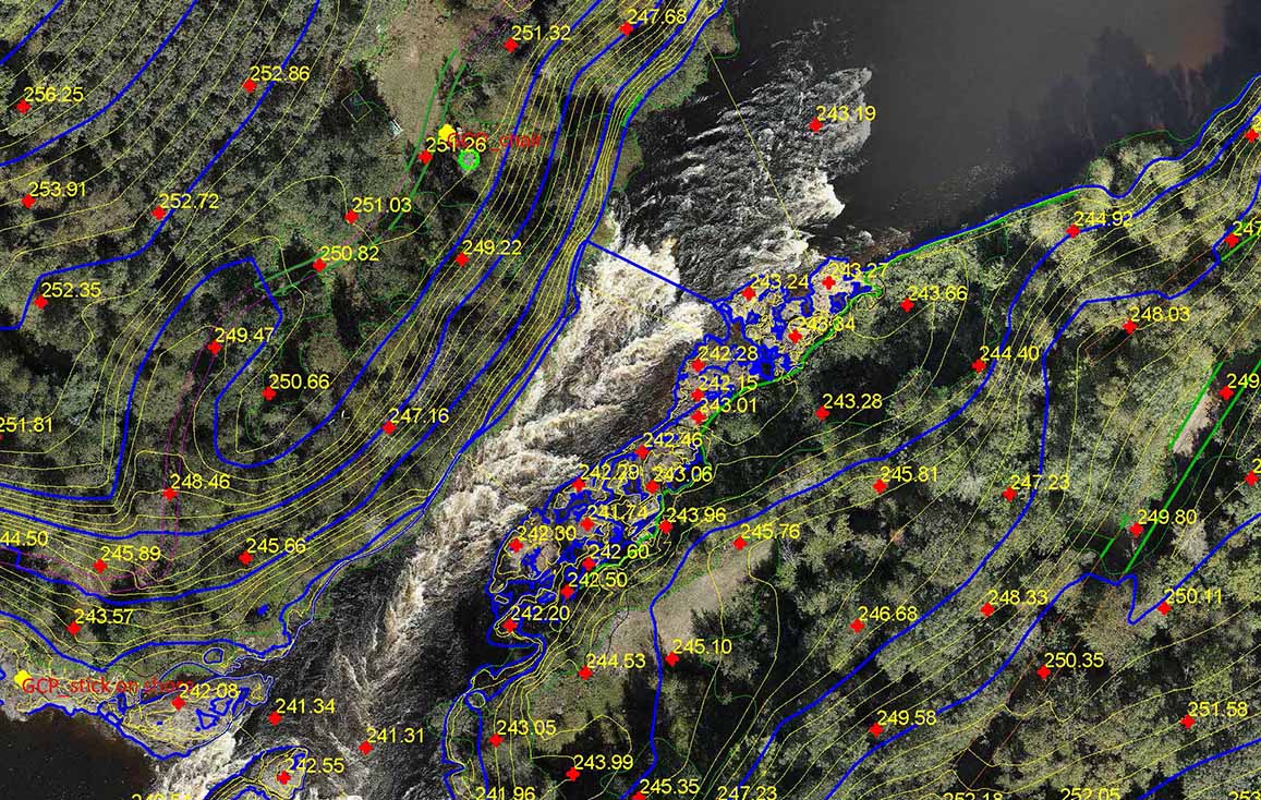
Drone mapping and surveying deliverable
Mapping and Surveying
We use the best drones and survey receivers to create highly accurate maps, and we offer a first-in-Canada Aerial-to-AutoCAD workflow. We deliver survey-grade mapping images with georeferenced linework directly to our clients' desktops. Because the linework is layered on georeferenced images of your site, it's more useful than traditional survey drawings. Just open the files and get to work!
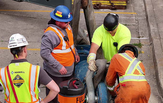
Drone services for construction sites
Construction Sites
We offer construction progress photography, site management media, live-stream timelapse services and CAD mapping. We help site staff and project managers see their site from a different perspective, which cuts down evaluation time, helps predict problems before they occur and keeps projects on schedule. Project managers can quickly confirm work completion.
Our Work

We Get Around!

about recon aerial drone services
10
+

Years Strong

about recon aerial drone services
500
+

Happy Clients

about recon aerial drone services
1500
+

Missions Flown

about recon aerial drone services
500000
+

Kilometers Travelled

Our services

Get in Touch!

If you have questions we have answers, even if you don’t hire us to do the work!

We would love to hear about your project and we will provide our honest, expert opinion on the best way to get it done.

Please Reach Out!

We Want to Hear From You!

    Please prove you are human by selecting the tree.

    about recon aerial drone services company