



Construction Progress Drone Photography
Scheduled aerial progress photos for builders, developers and lenders across Ontario and Quebec.
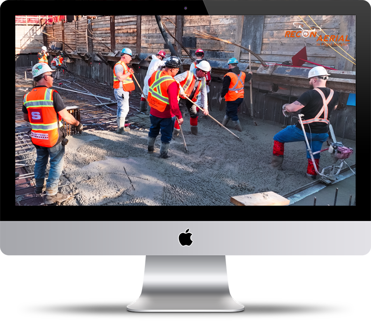
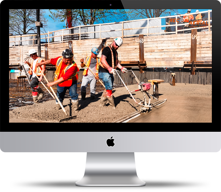
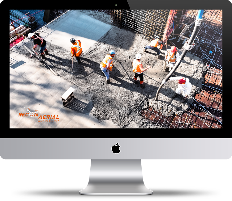
As part of Constuction Site Drone Services Recon Aerial captures construction progress photos by drone on a schedule that fits your project: weekly, bi-weekly or monthly. Every visit is shot from the same positions and angles, so each set lines up with the last and shows exactly what changed. You get a dated, professional record of your build from groundbreaking to handover, without sending anyone up a ladder.
Who Uses Drone Progress Photography?
Developers – Show investors, partners and buyers that your project is moving. Regular aerial updates make reports and marketing easier and build confidence in your timeline.
General contractors – Keep a dated visual record of every phase. Use it for owner meetings, schedule reviews and resolving change orders or disputes with clear evidence.
Lenders and owner’s representatives – Confirm work completed before releasing draws, without a site visit for every update.
Project managers – See the whole site in one image. Spot problems with layout, staging and sequencing before they cost time and money.
Municipalities and public owners – Share clear progress updates with councils and the community on infrastructure and public building projects.
Brian M. Stoneman
President, Recon Aerial
10
+10
+
With years of field experience on active construction sites, we understand the complexities, coordination issues, and real-time demands you face daily. Our objective is to deliver precise, timely information that enables faster decision-making and improved project control. Choose Recon Aerial as you construction site drone services partner!
Brian Stoneman | President | Recon Aerial
With years of field experience on active construction sites, we understand the complexities, coordination issues, and real-time demands you face daily. Our objective is to deliver precise, actionable data that enables faster decision-making and improved project control.
Brian Stoneman | President | Recon Aerial
How Our Progress Drone Photography Works
1. Consultation – We discuss your project, schedule, reporting needs and who will use the photos.
2. Flight planning – We set fixed shooting positions, angles and heights for your site, and handle airspace approvals and site safety requirements.
3. Scheduled flights – We fly on your chosen schedule, weekly, bi-weekly or monthly, repeating the same positions every visit.
4. Delivery – You receive dated, organized photos within 48hrs of each flight, ready to drop into reports.
5. Ongoing support – Adjust the schedule as the project changes, and add video, timelapse or mapping at any stage.
What's Included in Every Visit
- Project planning to ensure the most effective way to show progress on the site.
- Licenced/Insured Pilots to conduct the work.
- High-resolution aerial photos from the same fixed positions and angles every flight.
- Dated, organized folders so any phase of the project is easy to find later.
- Wide site overviews and close-up detail shots of key areas you choose.
- Secure online delivery you can share with owners, lenders and your team.
Optional add-ons (must be planned in advance):
- Video clips from repeat locations
- Short progress video clips for updates and social media
- CAD drawings over georeferenced imagery to compare site conditions against your plans
- A final project timelapse built from every visit’s photos
Why Repeatable Angles Matter
Random site photos taken from different spots on different days are hard to compare. You can’t tell at a glance what changed, and they rarely hold up as evidence.
We plan fixed shooting positions at the start of your project and return to them on every visit. Each new set lines up with the last, so progress is obvious, reports are easier to build, and you have a consistent, dated record if questions about schedule, scope or change orders come up later.
Consistency also makes your photos far more useful to the people who rely on them. Lenders and owner’s representatives can compare this month’s set with last month’s and confirm work is complete without visiting the site. Developers can drop matching views straight into investor updates, and project managers can line up a series of images to show how each phase came together.
Over the life of a project, those matched views add up to a complete visual history of the build. You can go back to any month and see exactly what was in place, from excavation and foundations to framing, enclosure and final grading. When the project wraps up, the same images can be turned into a progress timelapse or before-and-after marketing visuals at no extra flight cost.
Construction Progress Photography Pricing
Pricing depends on site size, location and how often we fly. Recurring schedules cost less per visit than one-off flights. Here’s where most projects start:
Package | Schedule | Starting price |
|---|---|---|
Single visit | One flight, any time | $699 per visit |
Monthly | One flight per month | $699 per month |
Bi-weekly | Two flights per month | $599 per month |
Weekly | Four flights per month | $499 per month |
Travel fees are not included. Add-ons such as video, mapping and timelapse are quoted separately. See all rates on our pricing page.
Progress Photography Across Ontario and Quebec
Based in Ottawa, we fly construction progress photography for projects throughout Ontario and Quebec, including Ottawa, Toronto and the GTA, Hamilton, Kitchener, London, Kingston, Sudbury, Thunder Bay, Gatineau and Montreal. Recurring schedules are available anywhere we can reach on a regular basis and our reach is broad!
We have experience working with top tier construction companies, Ledcor, Pomerleau, AtkinsRéalis, Canam and more!
Get in touch for an immediate quote!
Construction Progress Photography FAQ
The final price depends on site size, location and flight frequency. Our prices usually range from $499 per visit to $699 per visit depending on the complexity of the work. Recurring schedules cost less per visit.
Most projects choose bi-weekly or monthly flights. Fast-moving or high-profile projects often go weekly, especially during foundations, framing and enclosure so frequencies can vary and we are both flexible and willing to adapt.
Photos are delivered within 2 business days of each flight, dated and organized by visit.
Yes. We plan every flight around local airspace rules and obtain any required approvals before flying. Sites in controlled airspace do not normally require additional time but flight directly adjacent to airports can take and extra day to get approved.
We reschedule to the next suitable day and keep your overall schedule on track.
Yes. Every set is dated and shot from the same positions, giving owners, lenders and contractors a consistent record of the work completed.
Progress photography uses scheduled drone flights to capture the whole site from the air. Timelapse uses fixed cameras that record continuously from one position. Many projects use both. See our construction timelapse services.
Start Documenting Your Project From Day One!
The best progress record starts before the first shovel goes in. Tell us about your project and schedule, and we’ll put together a progress photography plan and quote within 48 hrs.
Get in touch below to call, email or setup a brief meeting via Calendly!
Construction Site Drone Services
We specialize in aerial construction monitoring capturing the drone shots others can’t—and we’ve done it for clients who expect nothing less than exceptional. With years of experience under our belt, we know how to deliver the visuals that matter. Take a look at some of the most common services we provide and the projects we shoot regularly.
Principal Drone Services
We Get Around!
Years Strong
Happy Clients
Missions Flown