...

Get in Touch!

We would love to hear about your project. It's easier than you think and you will be impressed with the results!

Contact Info

  • Ottawa, Headquarters
  • info@reconaerialmedia.com
  • Week Days: 09.00 to 17.00

Drone Photography Services

Recon Aerial > Drone Photography Services
Drone Photography Services

Drone Photography Services

Get the visuals you need—on time, on budget, and with zero hassle

brian stoneman recon aerial profile image_300

Brian M. Stoneman

President, Recon Aerial

Capturing progress, showcasing your project, or documenting a site shouldn’t be complicated—or costly. At Recon Aerial, we make high-quality drone photography simple, fast, and affordable for commercial and industrial clients across Canada.

Here’s what you might be dealing with—and how we solve it:

  • You’re not getting the images you actually need.
    We deliver purpose-driven aerial photography with a sharp focus on your goals.

  • Your current provider is slow or unresponsive.
    We’re fast, communicative, and respect your deadlines—every time.

  • You’re paying too much for mediocre results.
    We offer premium-quality drone imagery at great value, no fluff.

  • You’re unsure about compliance and liability.
    Our certified pilots operate with full Transport Canada approval and $5M liability coverage.

  • You need visuals that impress stakeholders.
    From crisp stills to dynamic media, we create content that gets attention and drives decisions.

High-quality drone photography services with real ROI.
Whether you’re documenting progress, marketing a site, or capturing hard-to-reach perspectives, we’re here to make your life easier—and your visuals better.

drone photography services

10

+
Years Of Experience

10

+
Years of experience
drone photography services_2

Capture more than just images—our drone photography services deliver sharp visuals, powerful perspectives, and real results that elevate your brand and move your project forward.

Drone Photography Services

Amazing Drone Photography Services

Our Drone Photography Will Impress!

Recon Aerial delivers stunning drone photography and video content tailored to meet the needs of commercial and industrial clients. We capture high-resolution drone photos in multiple formats—16:9, 4:3, or 3:2—and shoot in RAW whenever possible to ensure maximum flexibility in post-production. Our drone videos are typically captured in crisp 5.1K resolution unless a different spec is requested.

Our drone photography services are trusted by businesses across industries and are regularly featured in project briefs, development updates, promotional videos, real estate investment packages, internal presentations, brochures, websites, social media campaigns, and more. We’re especially proud that our aerial video content has appeared in four television shows, including Discovery Channel’s “Adventure Cities.”

Want to know more about our drone photography pricing and packages? Get in touch—we’ll tailor a solution that fits your project and your budget.

brian stoneman recon aerial profile image_300

Brian M. Stoneman

President, Recon Aerial
drone photography services

Capture more than just images—our drone photography services deliver sharp visuals, powerful perspectives, and real results that elevate your brand and move your project forward.

Capture more than just images—our drone photography services deliver sharp visuals, powerful perspectives, and real results that elevate your brand and move your project forward.

Drone Photography Services

Professional Drone Photography Services

Stunning Drone Photography and Videos

Recon Aerial delivers professional drone photography services designed to meet the demands of commercial clients across real estate, media, and development sectors. With experience supporting TV productions and large-scale projects, we know how to capture the drone content you need—on time and on point.

Weather doesn’t always play nice, and some clients require drone shots at specific times or in exact lighting conditions. When conditions aren’t perfect, we don’t pause—we pivot. Our drone photography team captures the best possible footage, and our post-production experts enhance it with advanced digital editing to ensure it looks stunning.

Whether it’s an overcast winter day or a tight deadline, we create powerful visual content that elevates your message. From crisp aerial photos to cinematic drone video, our services are built to deliver consistent quality, no matter the challenge.

If you need drone photography services that are flexible, reliable, and results-driven, Recon Aerial is ready to exceed your expectations. Let’s get to work.

brian stoneman recon aerial profile image_300

Brian M. Stoneman

President, Recon Aerial
Drone Photography Services

VISUALLY STUNNING DRONE MEDIA

At Recon Aerial Drone Services, our expertise goes beyond inspections; we excel in capturing breathtaking visual content through our expert drone services using cutting-edge drone technology. Our team is skilled in creating stunning videos and photos that have found their way into movies, TV series, industrial development projects, and commercial land sales.

We’ve also contributed to intricate tasks like backplatting and 3D visualization projects, showcasing the versatility of our comprehensive drone services. With a keen eye for detail and a commitment to excellence, Recon Aerial ensures that every visual project we undertake is nothing short of extraordinary.

Aerial Photography

Aerial Photography Services

We pride ourselves on our ability to capture just about any drone shot. We have a lot of experience working with exceptional clients like you. Checkout some of the more common service details for work we shoot regularly.

Our services

Principal Drone Services

drone photography services
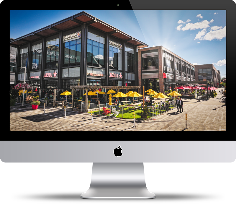
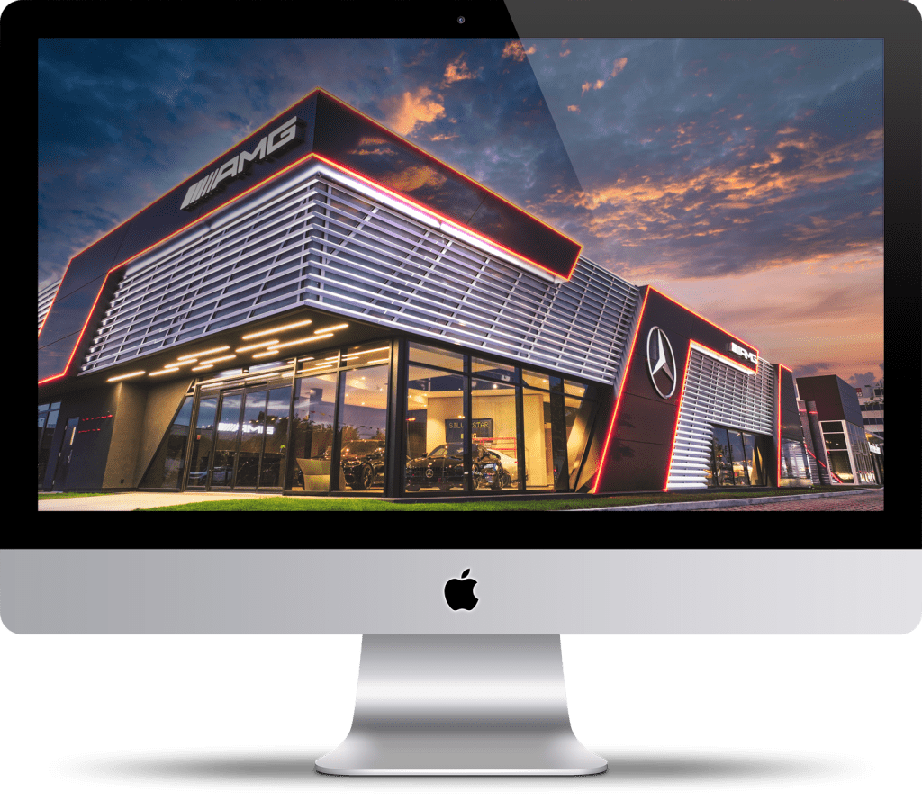
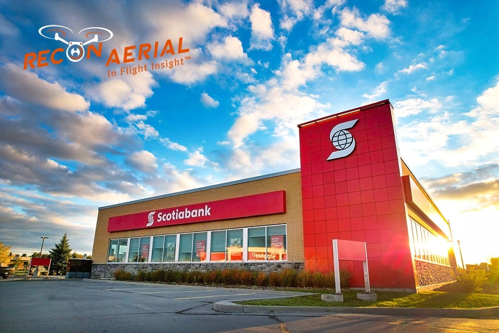
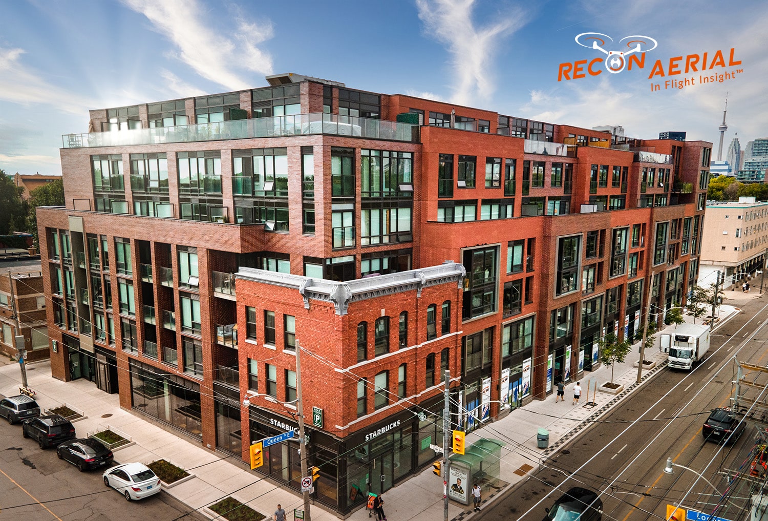
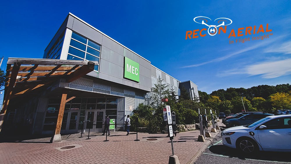
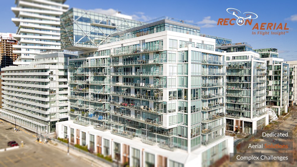
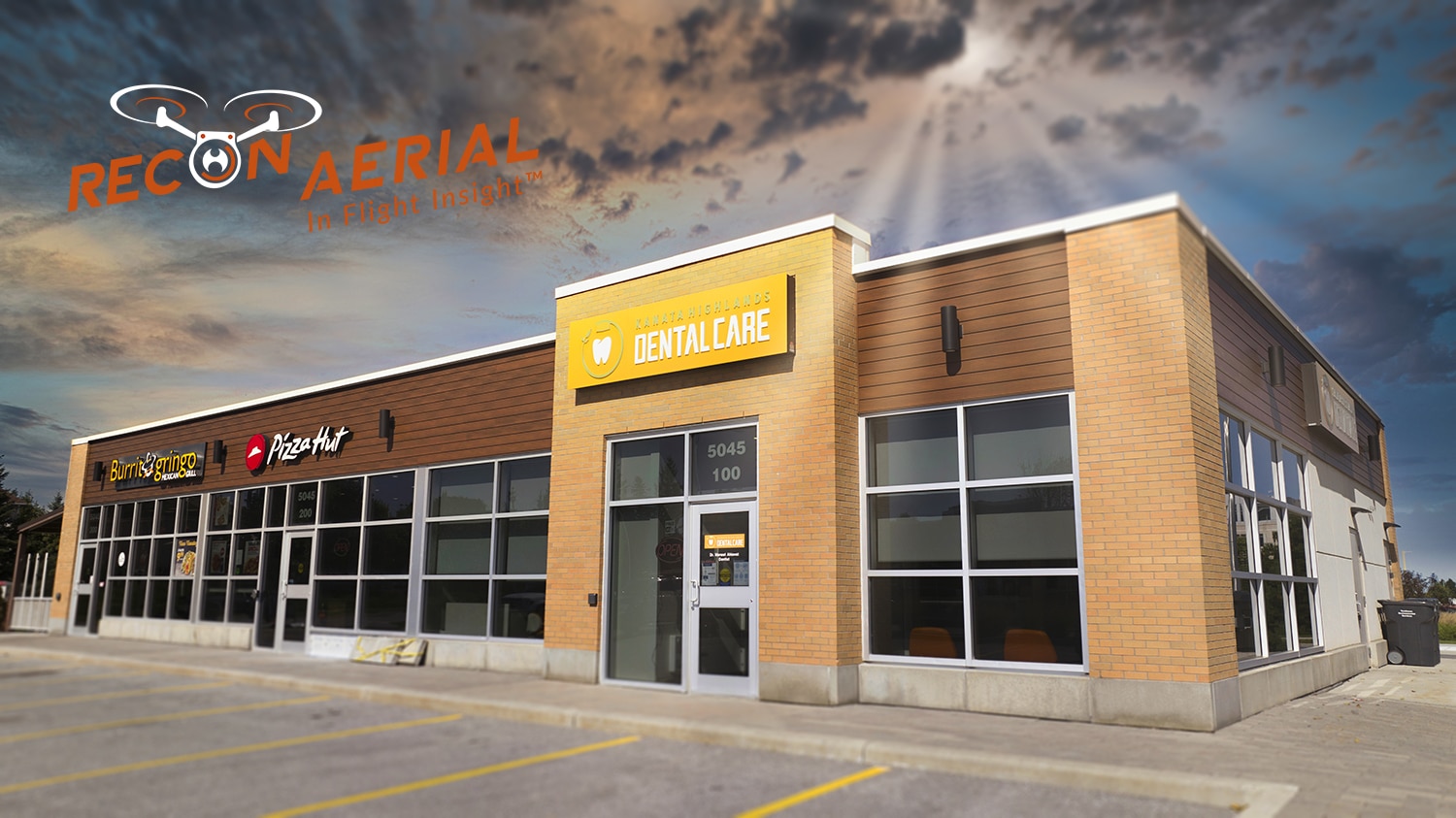
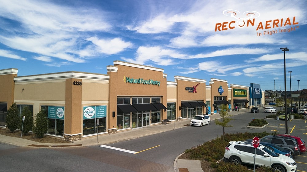
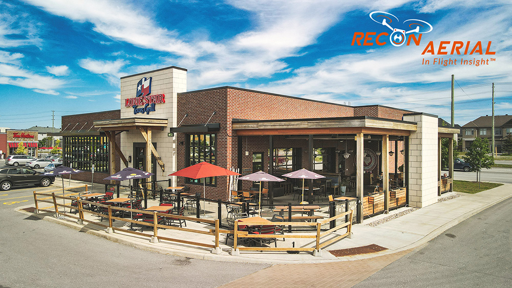
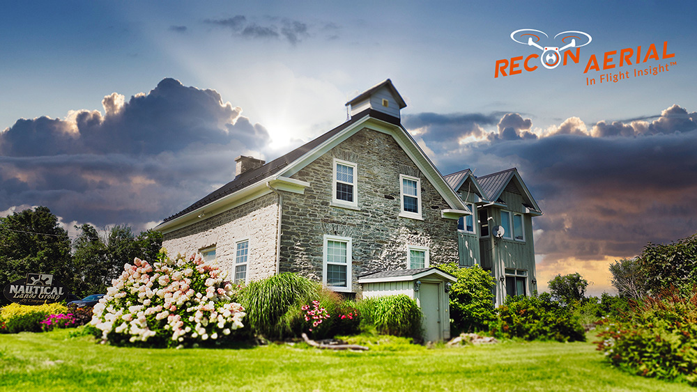
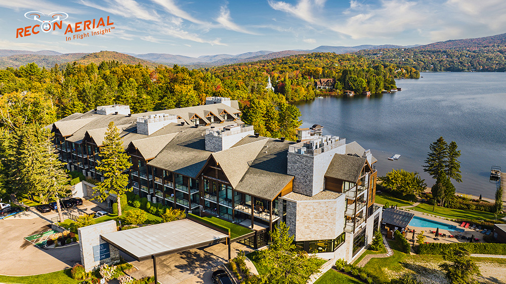
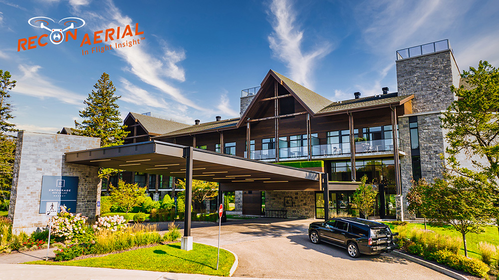
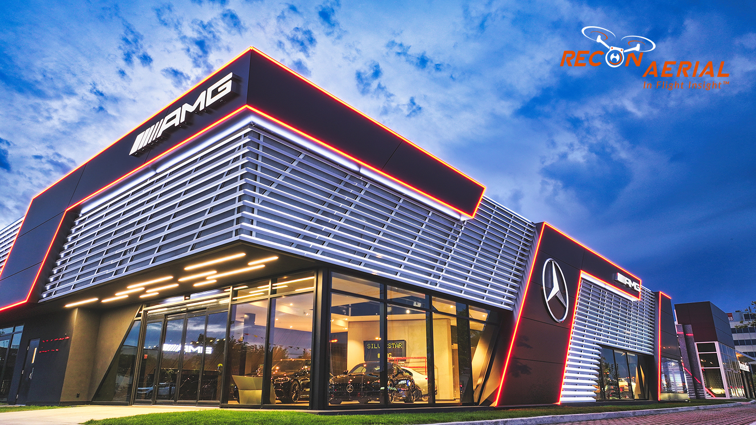
Media Capture and Production
If you have thought it we have shot it! Movies, TV shows, documentaries, commercials, commercial real estate, backplating, 3D modelling, project briefs, pitch decks, websites, socials, post-production project videos, aerial virtual tours, and more. We love to get creative, challenge us and see what we can do!
  • Up to 5.1 K drone video footage
  • No Limit to Media (Photos or Video)
  • Reshoot Free, if needed (but this is never needed)
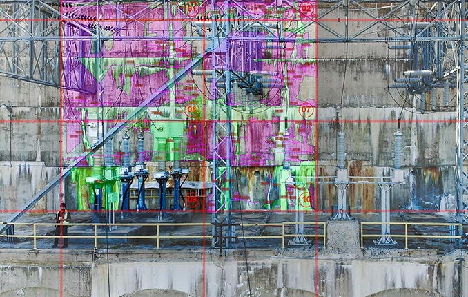
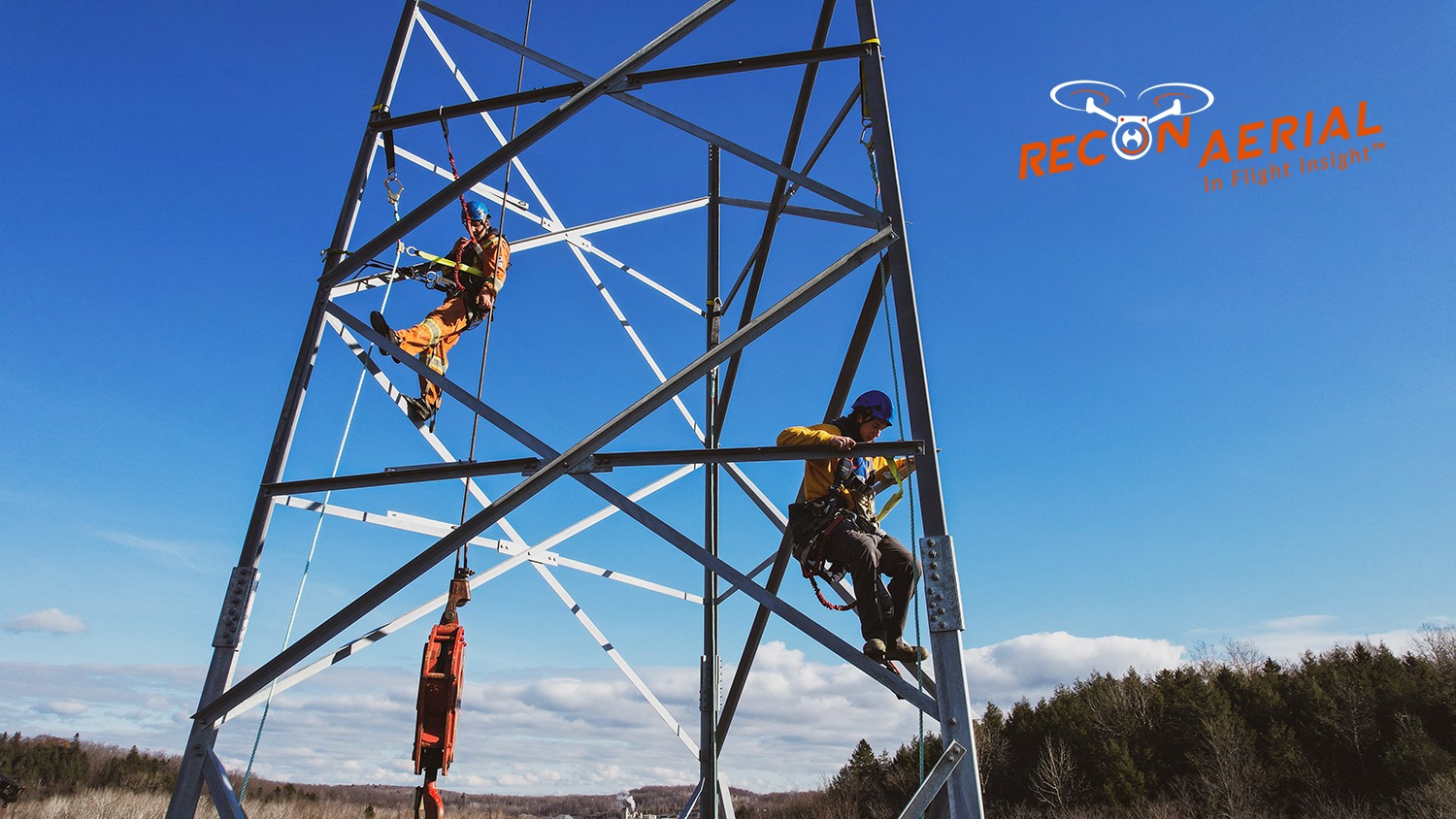
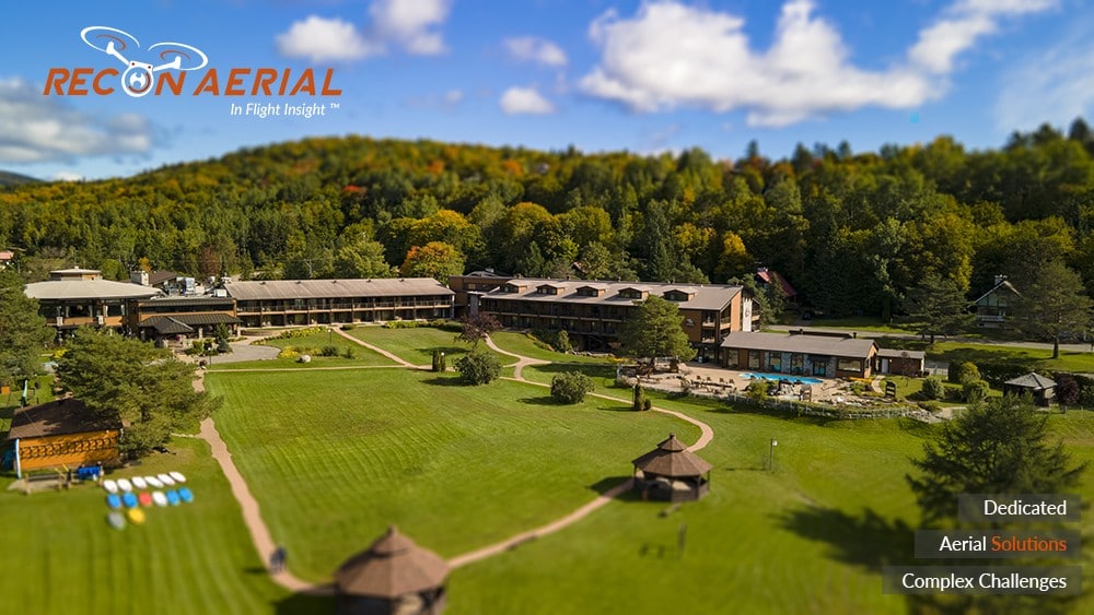
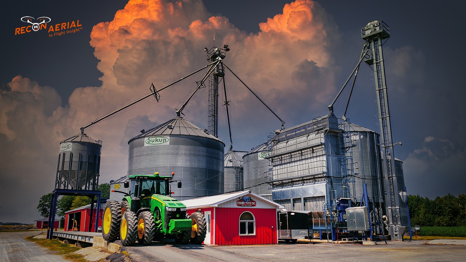
recon aerial drone services inspection-678x430
Drone Inspections
We have inspected many types of critical infrastructure assets like wind turbines, power lines and electrical infrastructure, building facades, bridges, cell towers, dams, railways, roofs, flare stacks and solar panels. We provide high-resolution imaging, often backed by AI to detect damage or inefficiencies.
  • High resolution sensors
  • Infrared inspection capability
  • AI backed reporting
drone mapping services_678x430
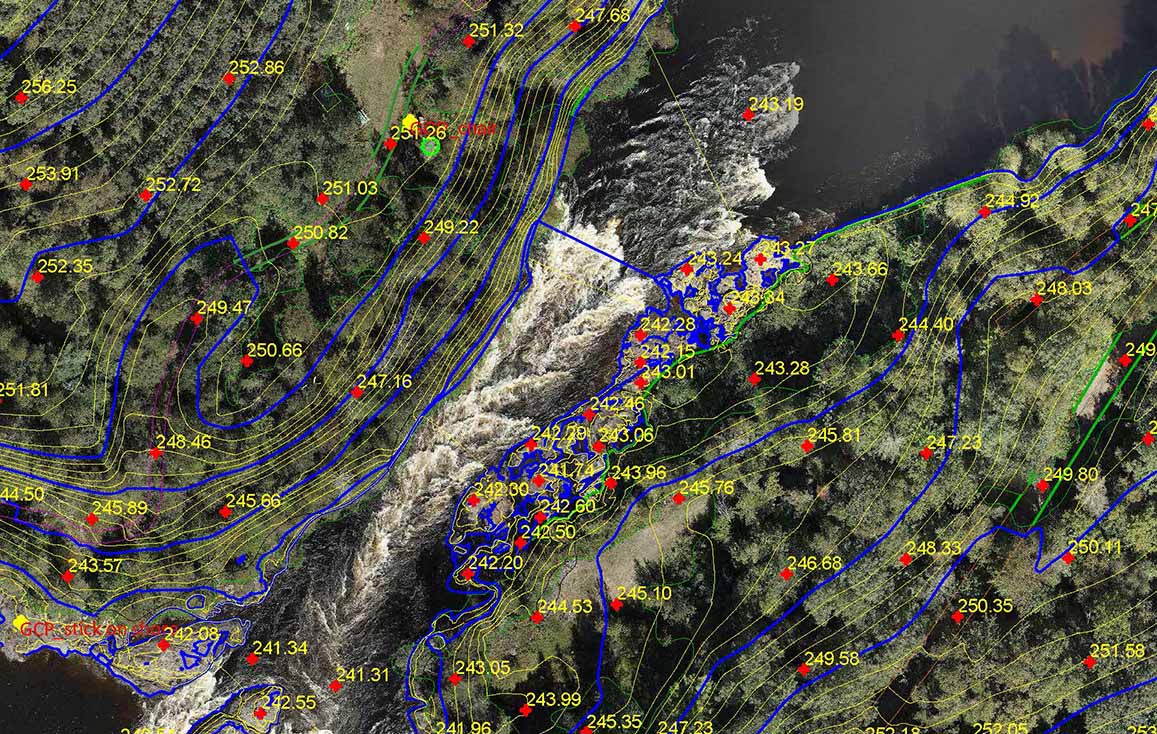
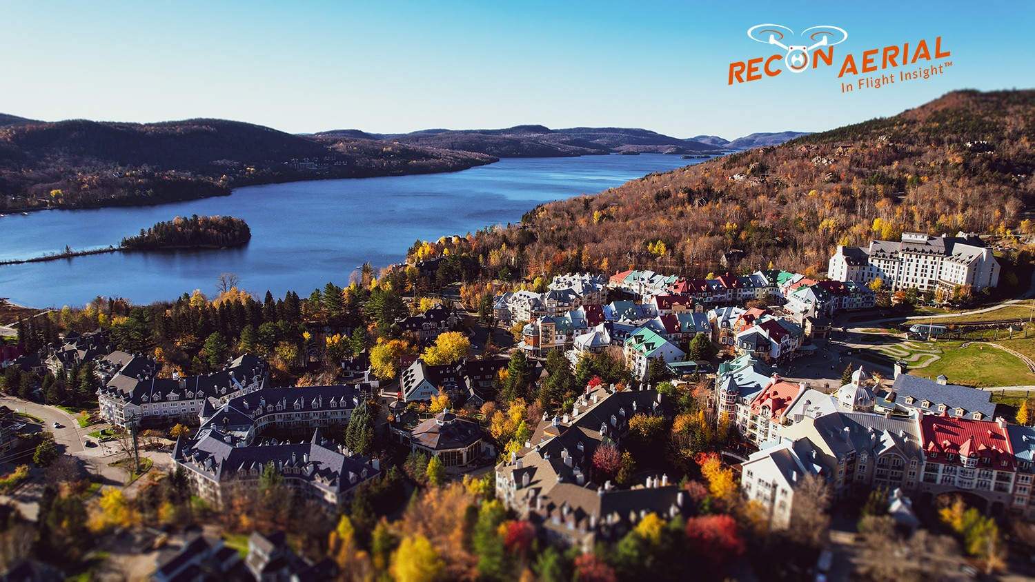
Mapping and Surveying
Yes, we use the best drones and survey receivers to create very accurate maps. Not just any maps. We have a first-in-Canada Aerial-AutoCAD workflow. We deliver survey-grade mapping images with geoferenced line work directly to our clients desktops. This is better than traditional surveyor drawings because our line work is layered on on geoferenced images of your site. You simply open the files we provide on your desktop and get to work!
  • Mapping specific sensors
  • GNSS survey receivers
  • Aerial to AutoCAD deliverables
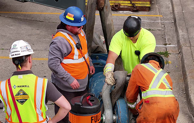
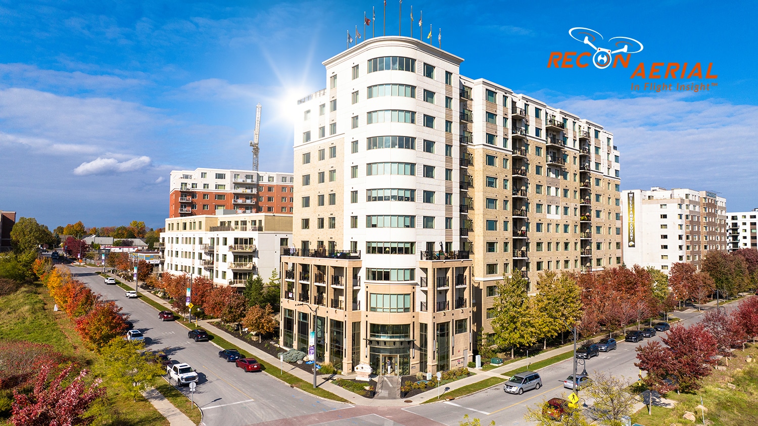
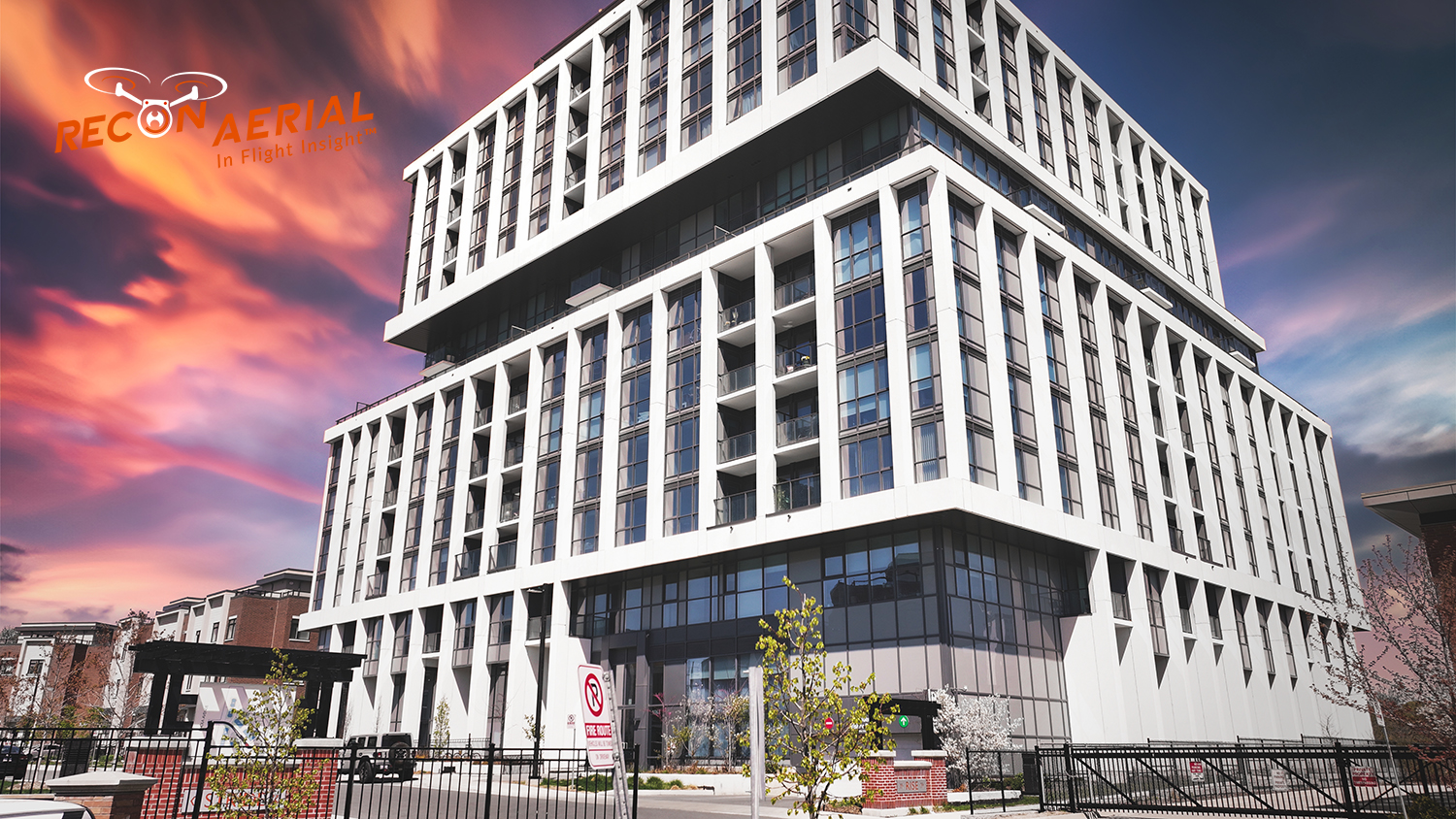
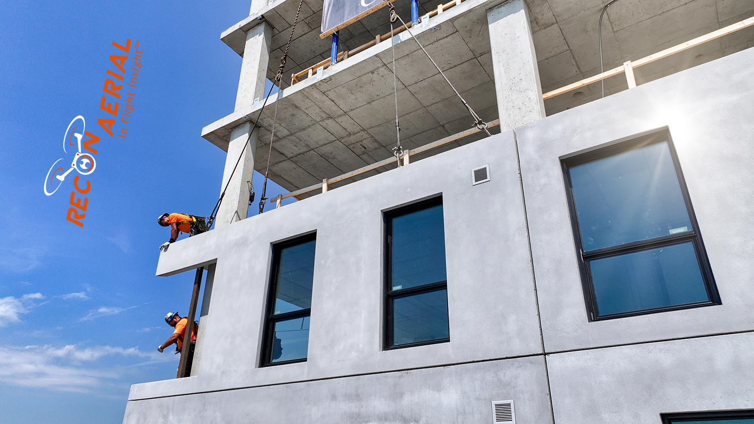
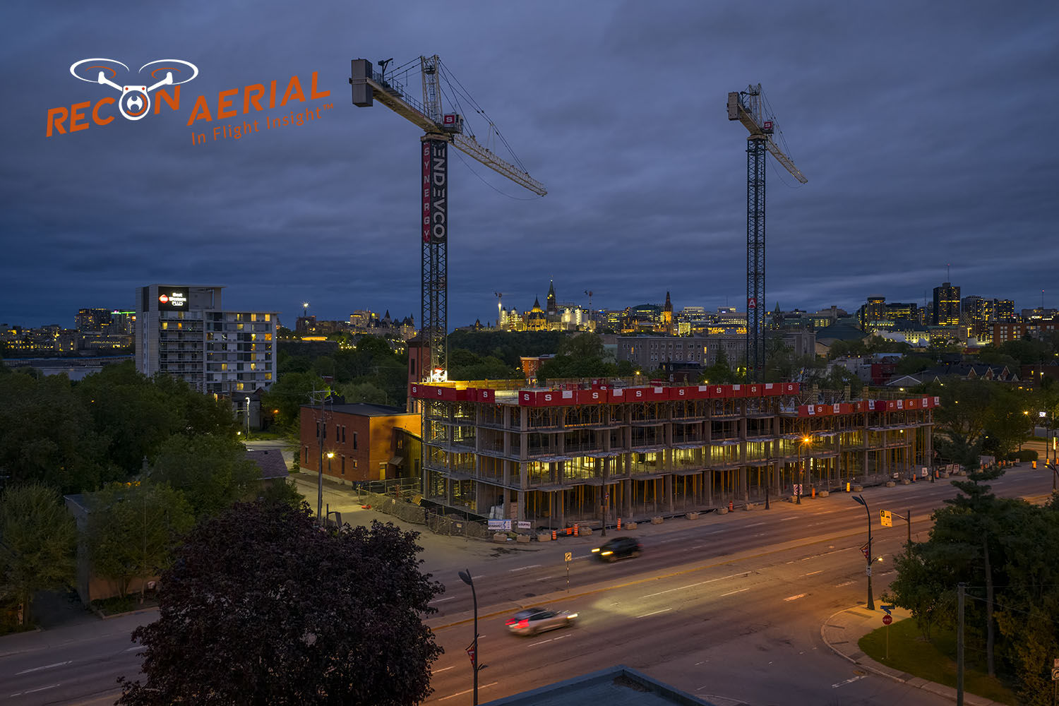
drones services for construction_678x430
Construction Sites
We offer progress monitoring via drone, site management media, live-stream timelapse services and CAD mapping. We help site staff and project managers see things from a different perspective. This helps cut down on evaluation time, better predict problems before they occur, and helps keep projects on schedule. Project managers can quickly control and confirm work completion.
  • Site progress shots
  • Live streaming 24/7 timelapse
  • Mapping, earthworks and site logistics
Our Work

We Get Around!

10
+

Years Strong

475
+

Happy Clients

1500
+

Missions Flown

500000
+

Kilometers Travelled

error: Content is protected !!